
Pleasure hiking map
PDF · 2 pages · 20,2 MB
Hostel in the center of Füssen - DIRECT BOOKING BEST PRICE GUARANTEE

YOUR BASE CAMP IN ALLGÄU
Hiking near Füssen: Lakes, mountains and huts with route, walking time and altitude. Your accommodation in Allgäu: Bavaria City Hostel in the old town.
Discover excursions© Füssen Tourism and Marketing / Gerhard Eisenschink
ON FOOT
A quiet riverside path, a viewing peak or a hut tour: around Füssen you can choose the hike that suits your day. The information refers to the route mentioned from its starting point. Walking times are guidelines with no longer breaks; Condition and weather can change the requirements.
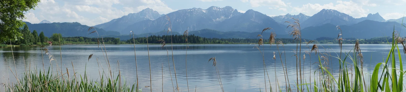
RIVER PATH WITH ALPINE PANORAMIC
The round around the Hopfensee is a good start to a holiday in Füssen. You stay mostly near the lake and always get new views of the mountain range. The walk connects the lively promenade in Hopfen with quieter sections of the bank.
The slight ups and downs make the path pleasant for a leisurely day of hiking. With coffee, a bathroom break or photo stops, it quickly turns into half a day. The variant described here starts in hops; You can reach the starting point from Füssen by bus or bike.
Good to know: Use the current tour map for the circular route. Riverside paths can be damp after rain.
BETWEEN FOREST AND ROYAL CASTLES
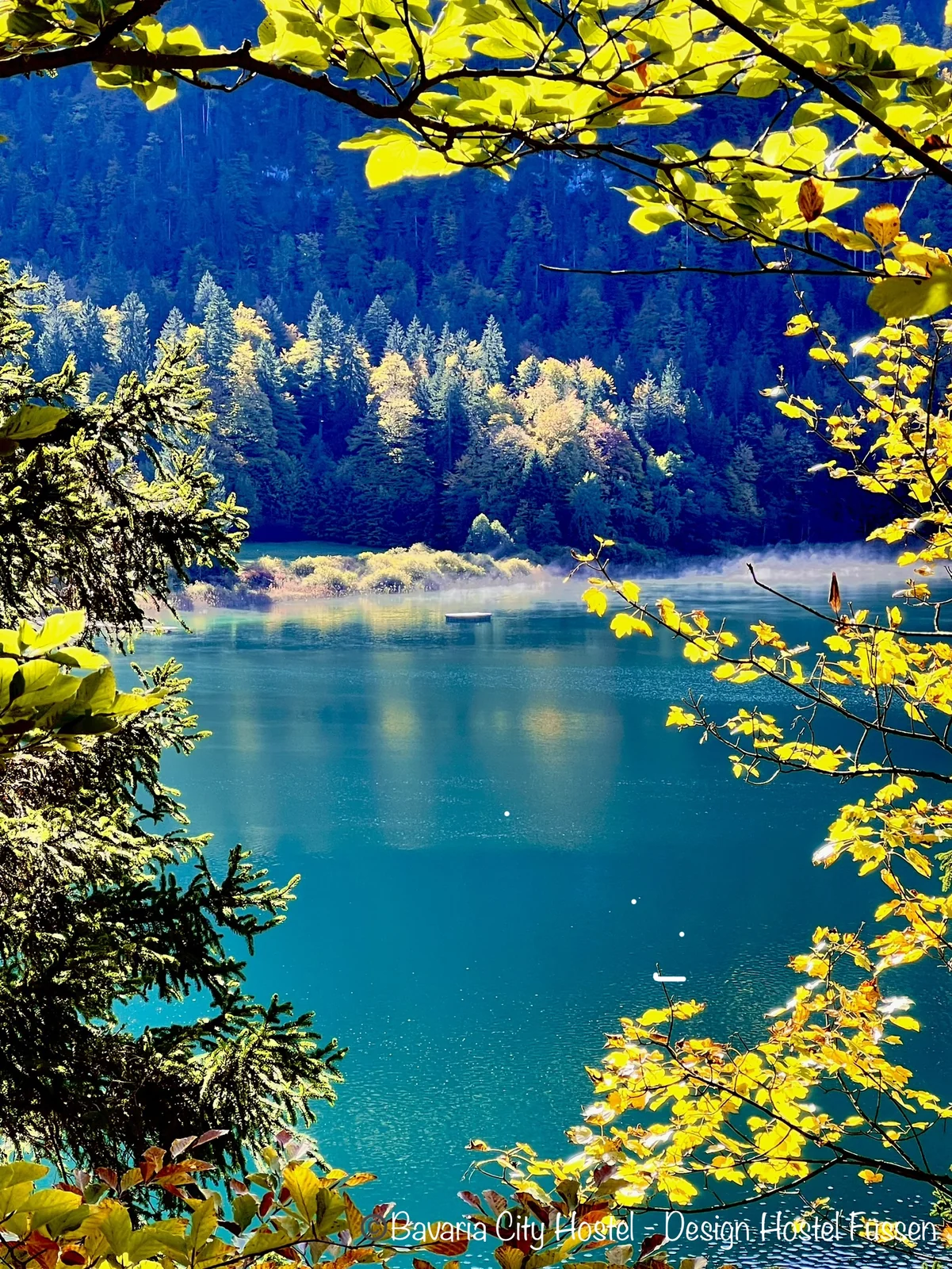
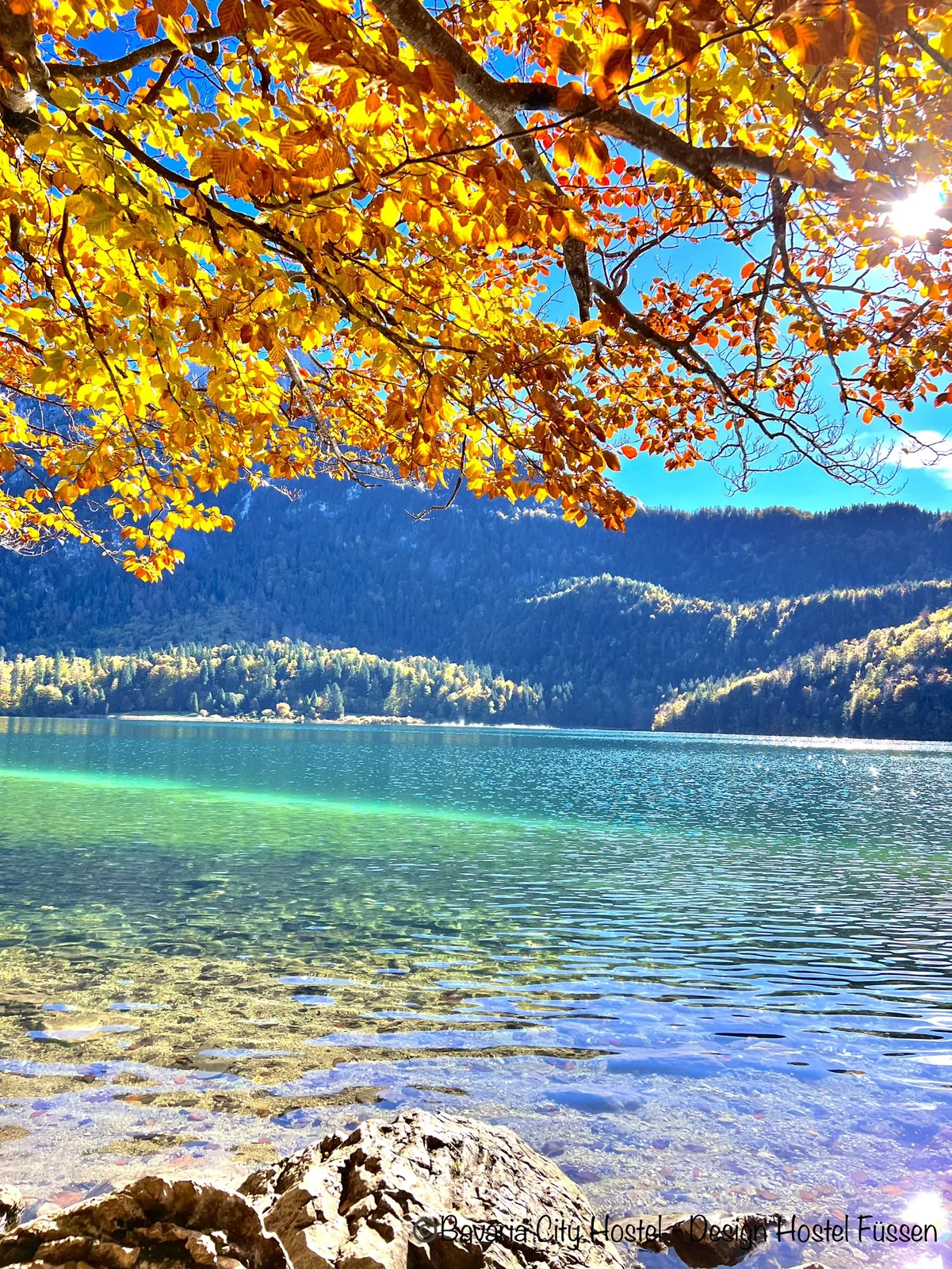
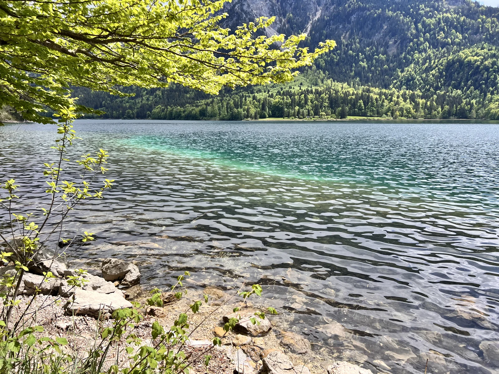
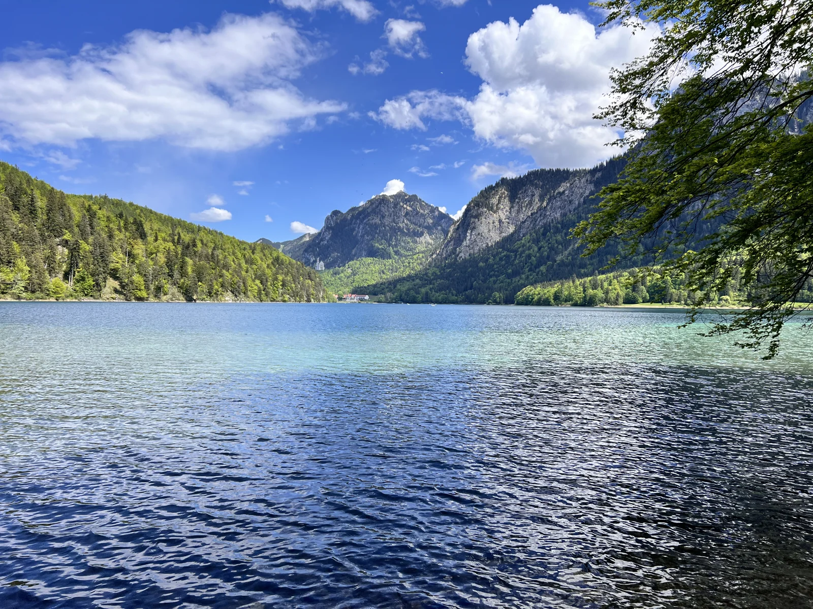
With the Alpsee you can immerse yourself in a quieter world after just a few steps. The circular route leads through the forest and along the water, with ever-changing views of the lake. Viewpoints and the proximity to the royal castles give this hike its special character.
The official tour from the Alpsee parking lot in Hohenschwangau can easily be combined with a visit to the castle. Despite the manageable length, you need sturdy shoes: it's not a flat promenade everywhere. Take your time for the views from the shore and plan your way back so that you can safely reach a guided tour you may have booked.
Good to know: The route is a specific official circular route variant. This does not include additional paths to the castle or Marienbrücke.
A ROUND ON THE WESTERN EDGE OF THE CITY
The Weißensee is a nice choice if you want to combine a quieter day at sea with exercise. The circular route follows the shore, alternating between open views and wooded sections and brings you back to your starting point.
For this round, plan more than just the kilometers: Small, narrow places and natural paths are part of it. For strollers or limited mobility, you should check the exact route description and, if necessary, choose a suitable section. A swim stop or a break with a view of the mountains makes the trip particularly relaxing.
Good to know: The gallery shows the hiking atmosphere in the Füssen Lake District and the Obersee. The southern Weißensee path is not suitable for strollers; Surefootedness is required there.
FOREST PATHS AND HUT BREAK
The round from the Weißensee leads over the heights in the Roßmoos and Saloberalm area. Here you experience the landscape more as a hiking area: longer forest sections, slopes and always clear views towards the mountains.
The Saloberalm is a possible break point when it is open. Nevertheless, take your own food with you and check the service times before you plan your stop. The circular tour requires significantly more fitness than a flat sea route. For a leisurely day of hiking with breaks, you should allow more than just the walking time.
Good to know: Pictures from the Füssen hiking area. You can find the specific circular tour and how to get started on the pleasure hiking map.
CASTLE RUINS AS A HIKING DESTINATION
On this tour, the Falkenstein becomes the destination of a real hiking day. The path over the Mariengrotte connects the wooded climb with the viewpoint at the castle ruins. Above you have the landscape of Pfronten and the western Füssen area at your feet.
With an elevation gain of more than five hundred meters, the tour is more demanding than the short walks along the lake. Plan time for the descent and start when the weather is suitable. Sturdy shoes, some fitness and enough water make the day more pleasant. If you particularly want to see the ruins, you will also find information about visiting them on our castles page.
Good to know: The values apply to the named circular tour. Other entrances to Falkenstein have different lengths.
A LONGER DAY OF HIKING
The Zirmgrat circuit leads over the wooded heights between Füssen and Pfronten. It connects forest paths, climbs and viewpoints to form a longer circular route. You should be happy to spend several hours here and have enough reserves for the elevation gain.
The route from the bathing beach Weißensee is suitable for a whole day of hiking. Start early and check the current directions before planning additional side trips. Depending on the weather, roots and steeper sections can be slippery. There is also a cycle route with a similar name - the hiking map is crucial for your planning.
Good to know: For this tour, use the route expressly described as a hike.
SHORT PATH HIGH ABOVE THE VALLEY
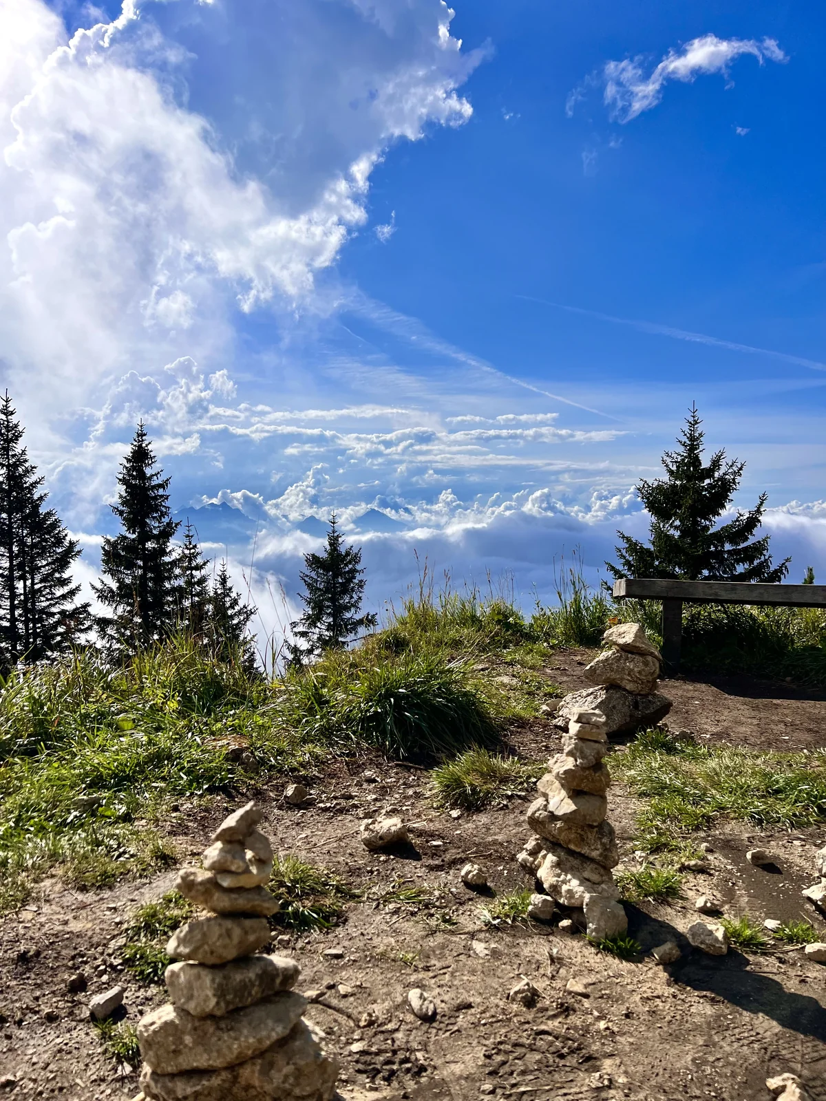
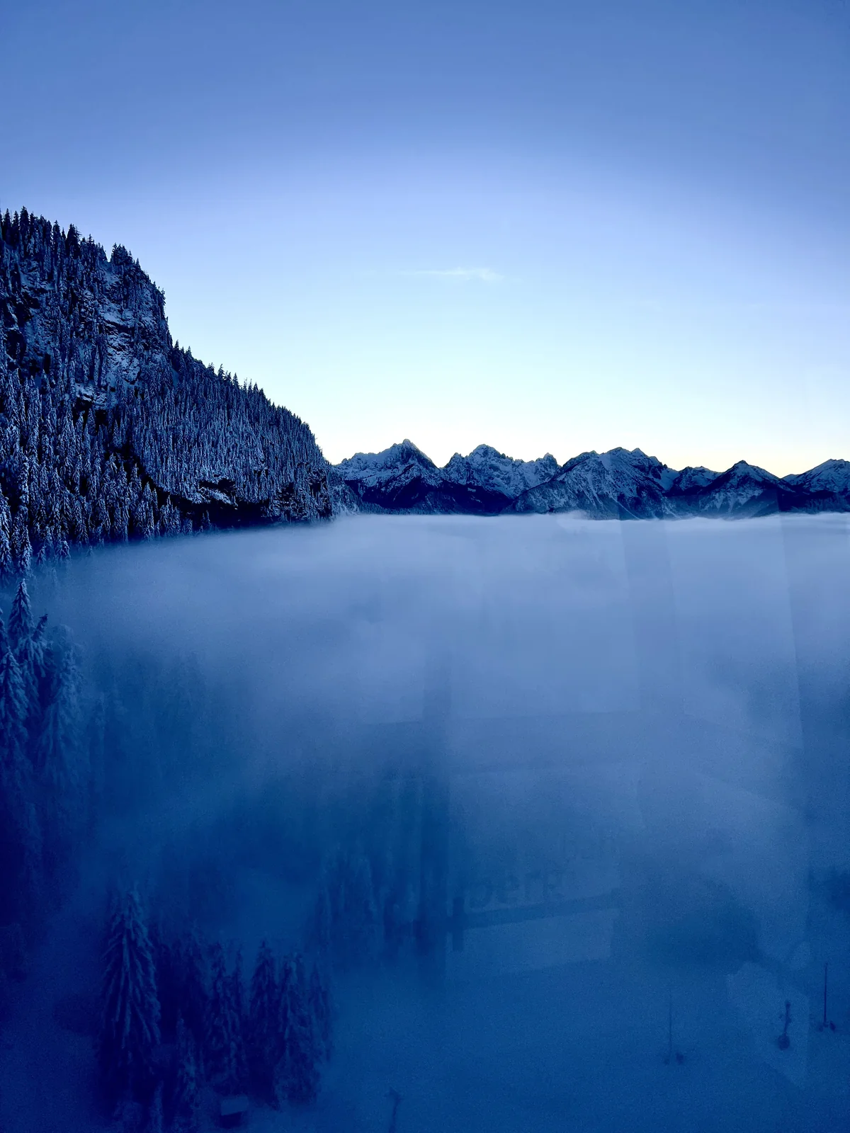
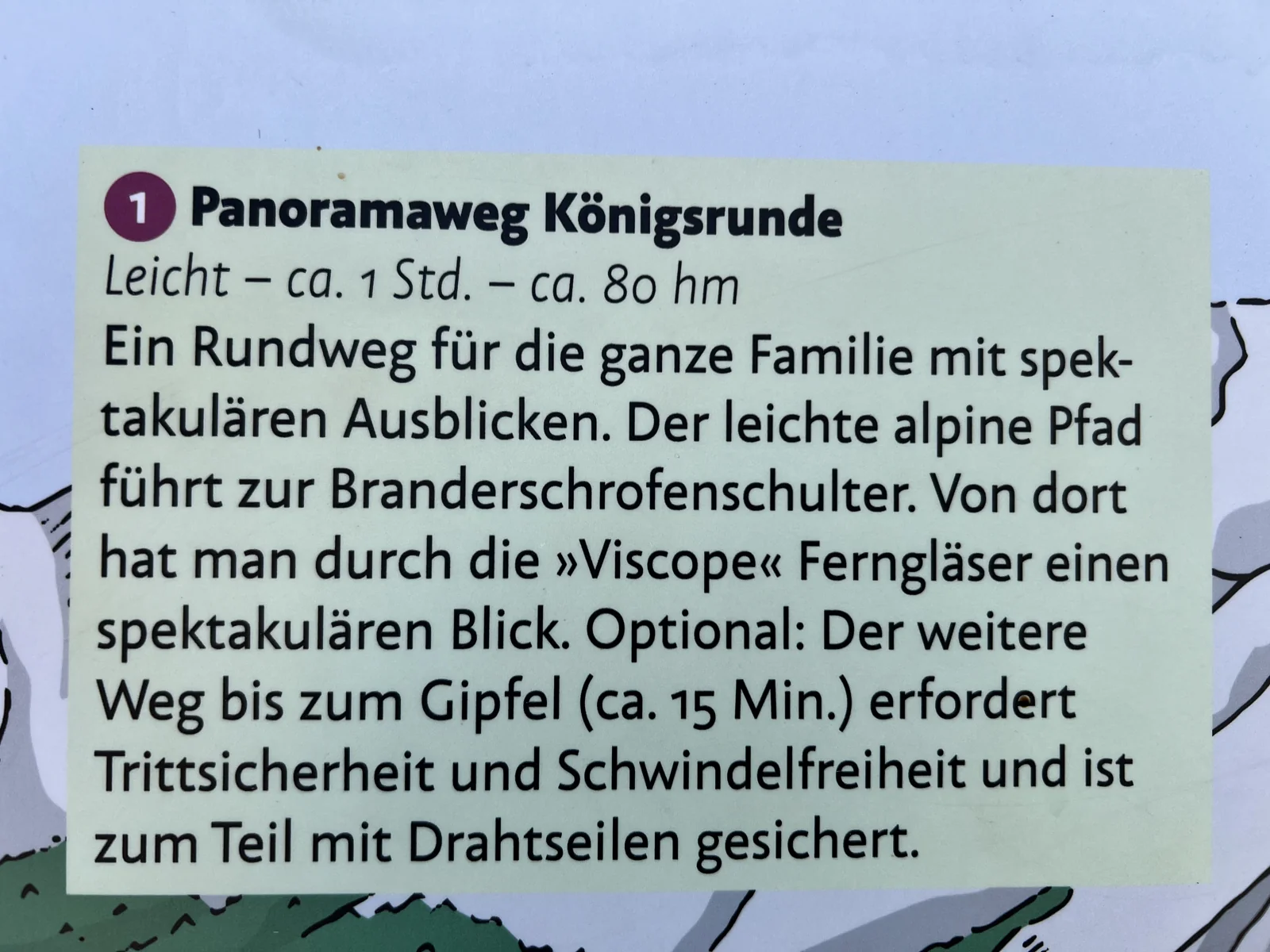
The Königsrunde begins at the mountain station of the Tegelbergbahn. On a short lap you will experience wide views of lakes, castles and the mountain landscape. Information boards connect the panorama with stories about the Bavarian royal family.
The path is short, but is in mountain terrain. Sturdy shoes and suitable clothing are also useful here. The ascent and descent are added to the hike; check operating times and weather at the railway. A summit climb to Branderschrofen is not part of the short circuit mentioned here and presents different requirements.
Good to know: Plan time to look at the panoramic path. The photos show different seasons on Tegelberg; accessible paths depend on the current condition.
CABIN BREAK WITH WIDE MOUNTAIN VIEWS
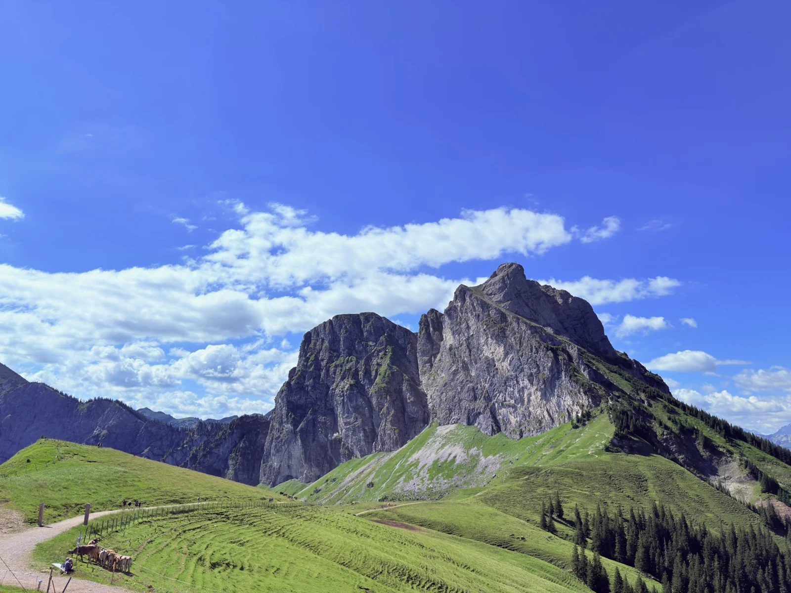
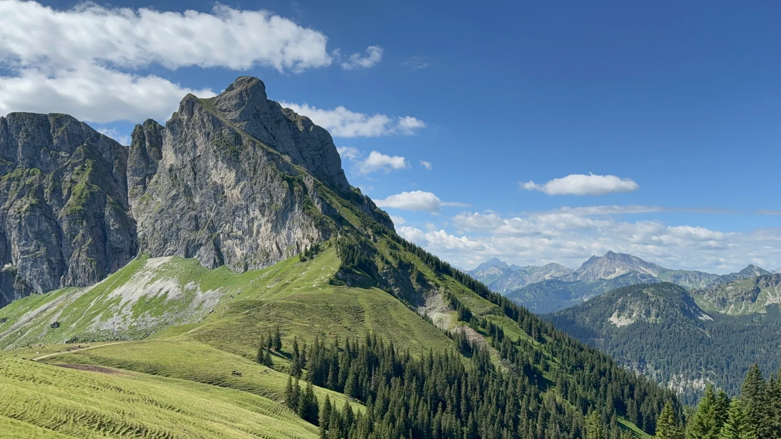
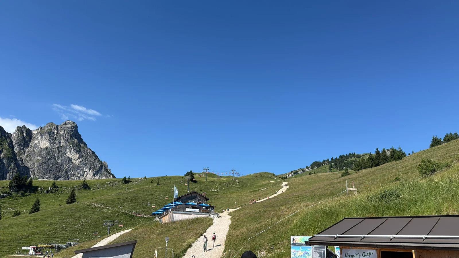
At Breitenberg at Pfronten, meadow slopes and mountain paths lead up to the Ostlerhütte. The hut is located on the summit ridge at 1.838 meters. From your terrace you can look out over the Allgäu and Tyrolean mountains and far out into the foothills of the Alps. A snack with a view is a nice destination for a day of hiking.
Our suggestion is the official panoramic tour from the mountain station of the Breitenbergbahn: over the Hochalpe we go uphill to the mountain station of the Hochalpbahn and then to the Ostlerhütte. The way back leads via the Juwelenweg with its adventure stations to the Hochalphütte and back to the starting point. The kilometers and elevation given begin at the top of the mountain; The cable car ride must also be planned.
You can shorten part of the climb with the Hochalpbahn. Then the hiking route changes. On the other hand, those who start on foot in the valley are planning a much longer mountain tour. Our pictures show the hiking area on the Hochalpe and the view of neighboring Aggenstein.
Good to know: Check the operating times of both lifts and the opening of the hut in advance. Plan the last descent with enough reserve.
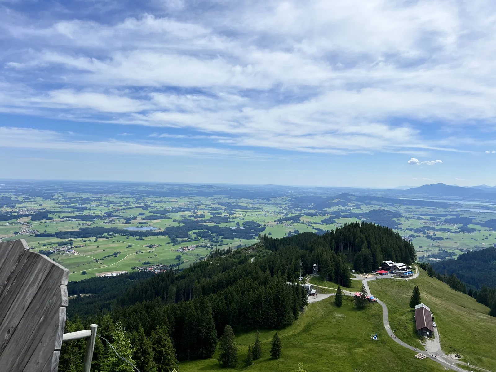
WATERFALLS, MOUNTAIN FOREST AND VIEWS
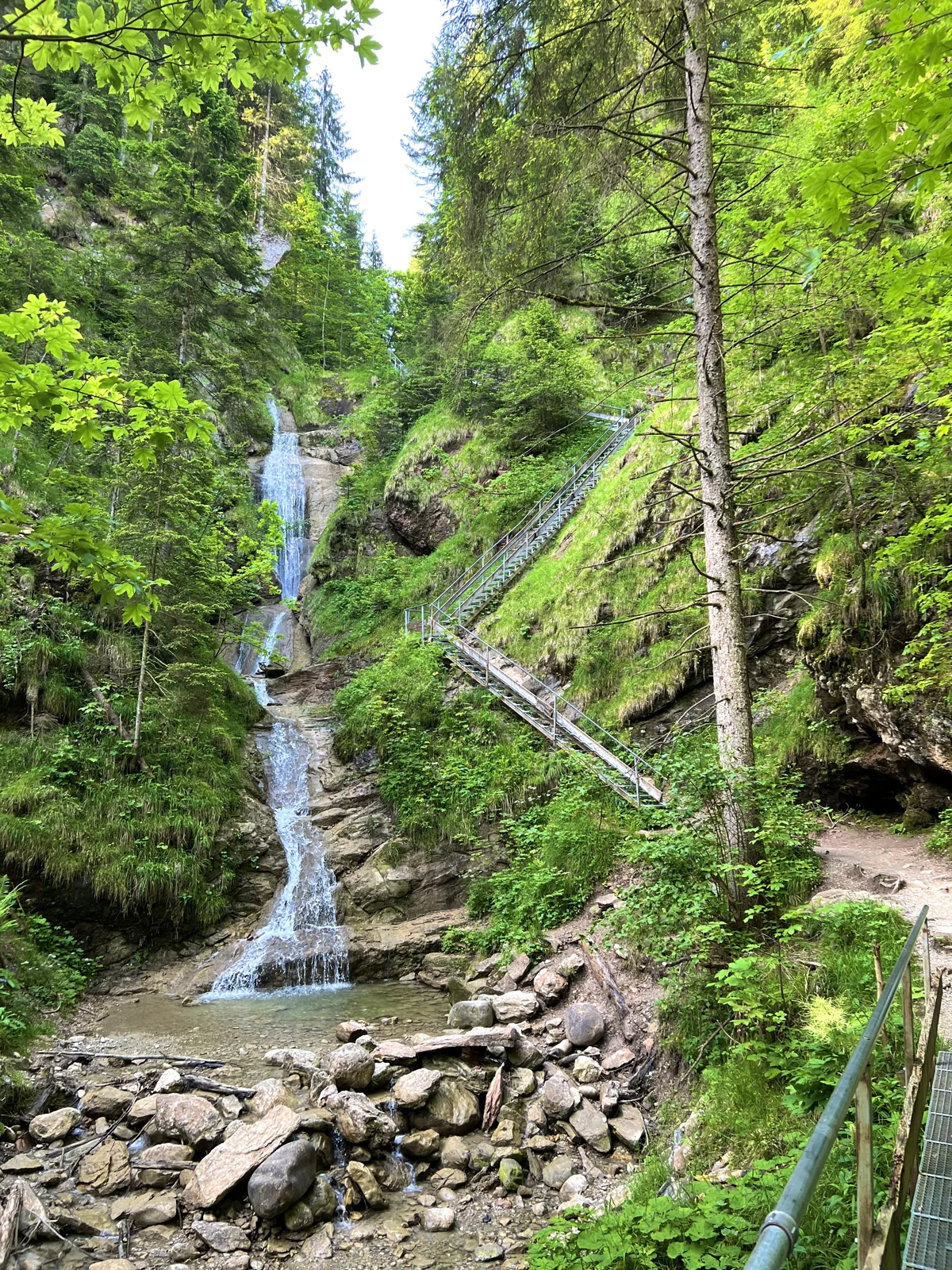
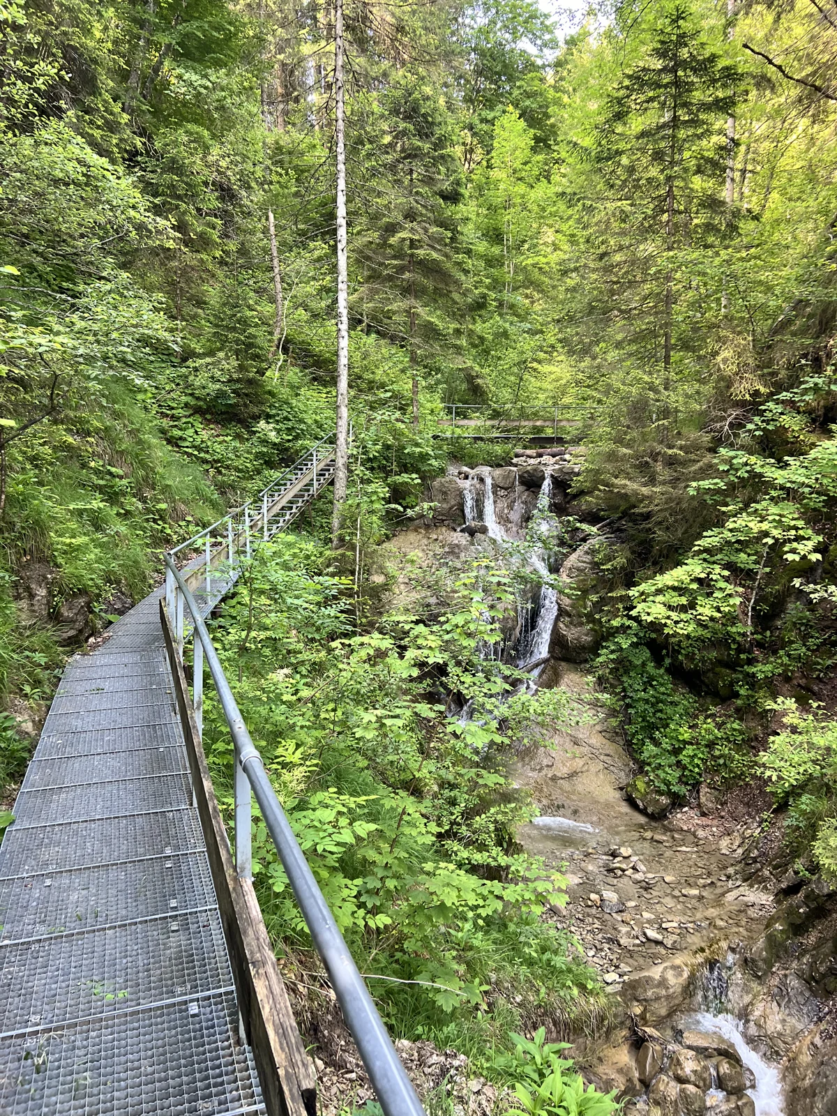
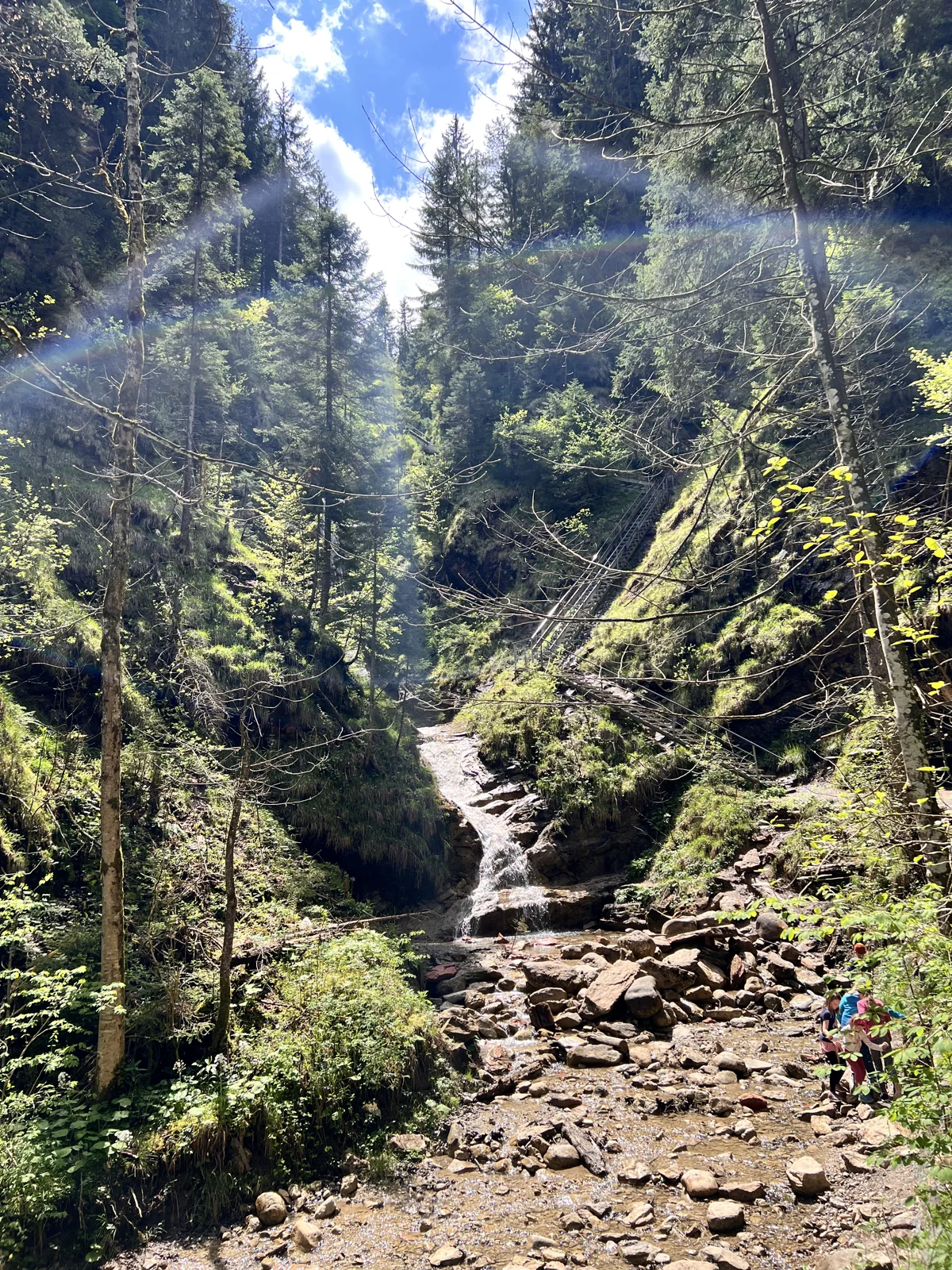
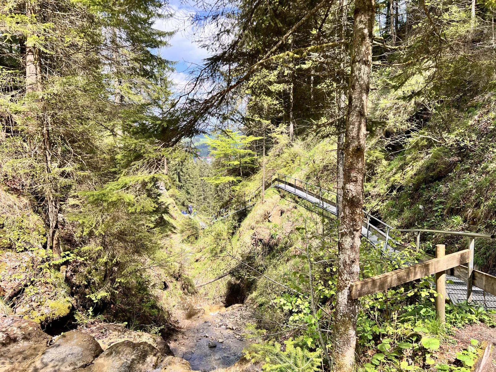
The waterfall trail begins at the valley station of the Alpspitzbahn in Nesselwang. The path climbs through the forest along the Schloßbächel. You reach the cascades via roots and footbridges; 236 Metal steps continue uphill along the waterfall. The water and the shady mountain forest make the climb a varied experience.
Nesselwang expects the climb to the middle station to take around one and a half hours. For a longer day of hiking, the official “Hike on the Nesselwang local mountain” route is ideal: via the waterfall path in the direction of Sportheim Böck, on to Kappeler Alp and via Maria Trost back into the valley. The 6,3 kilometers and altitude meters mentioned below apply to this round.
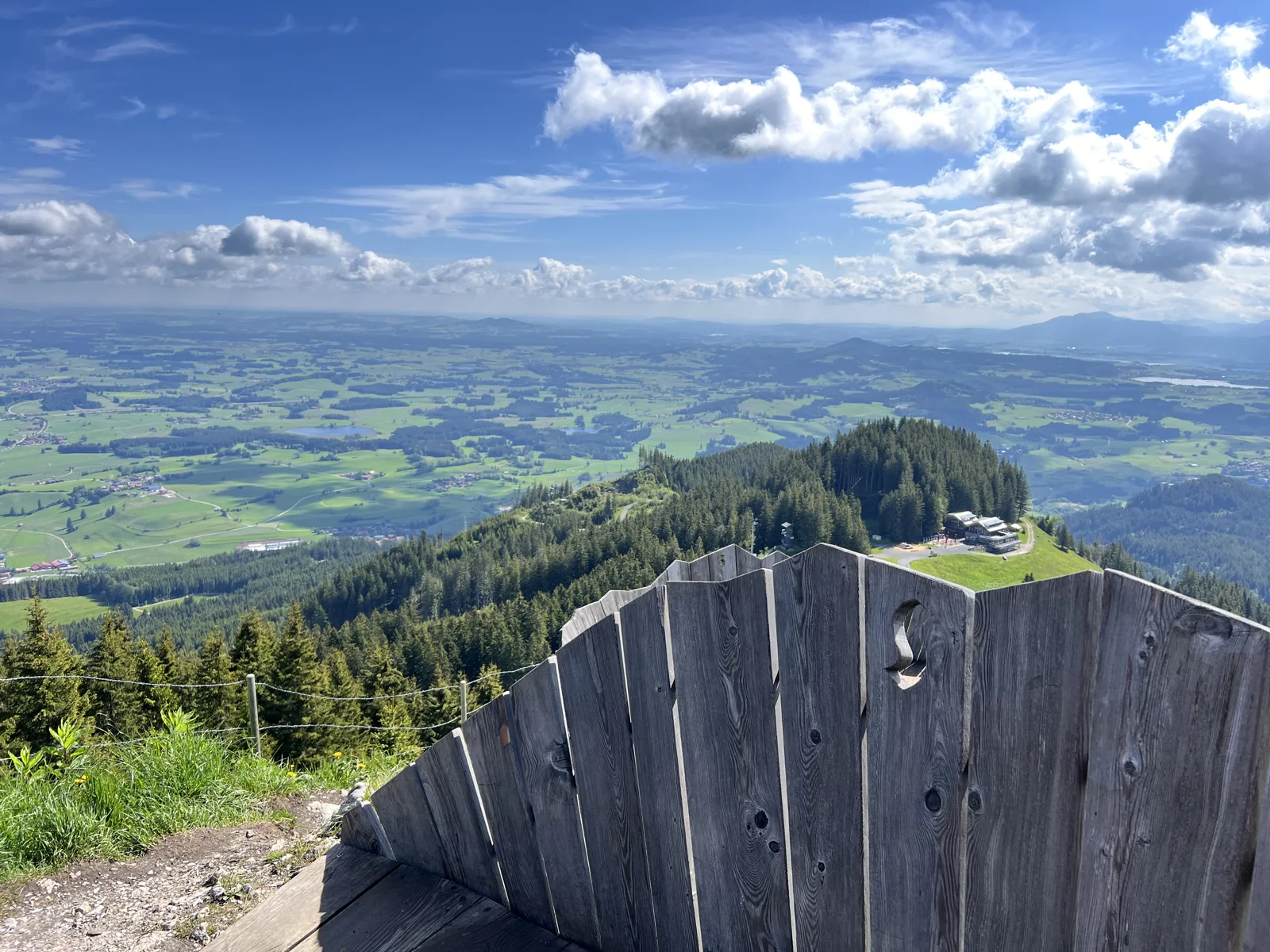
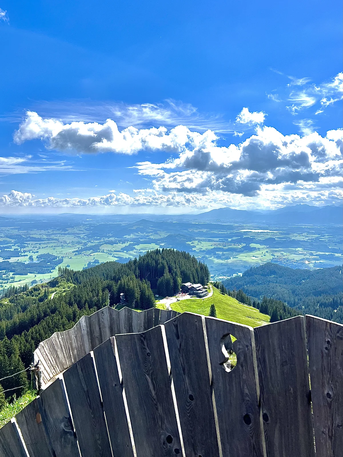
If you also want to go to the Alpspitz summit, choose the additional summit detour using the hiking map. It is not included in the values of the round trip and requires additional time. Our own summer pictures already show the summit area. A stop can easily be combined with the mountain day; For a return journey by train, check the operating times beforehand.
Good to know: The waterfall path is not suitable for strollers because of the steps. The metal gates are also difficult for dogs. Pay particular attention to safe footing when it is wet.
ALPINE MOUNTAIN TOUR AT PFRONTEN
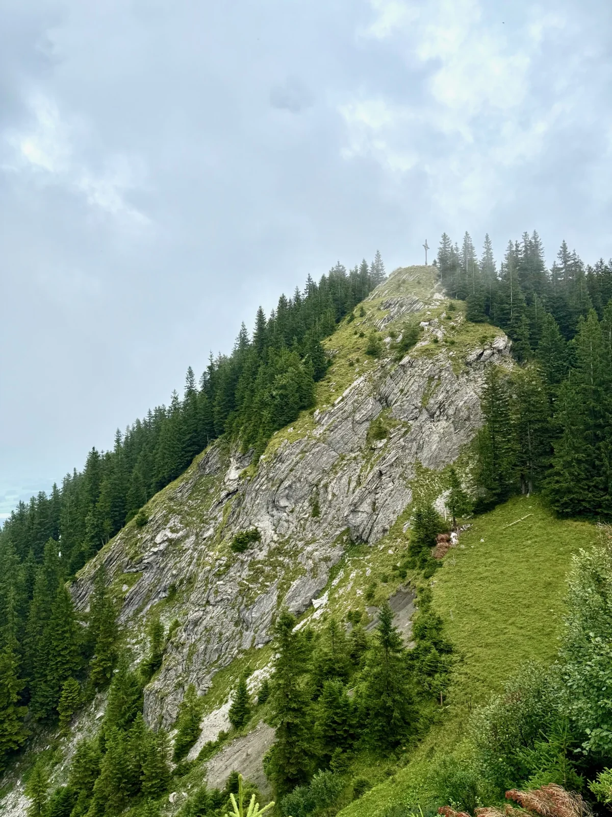
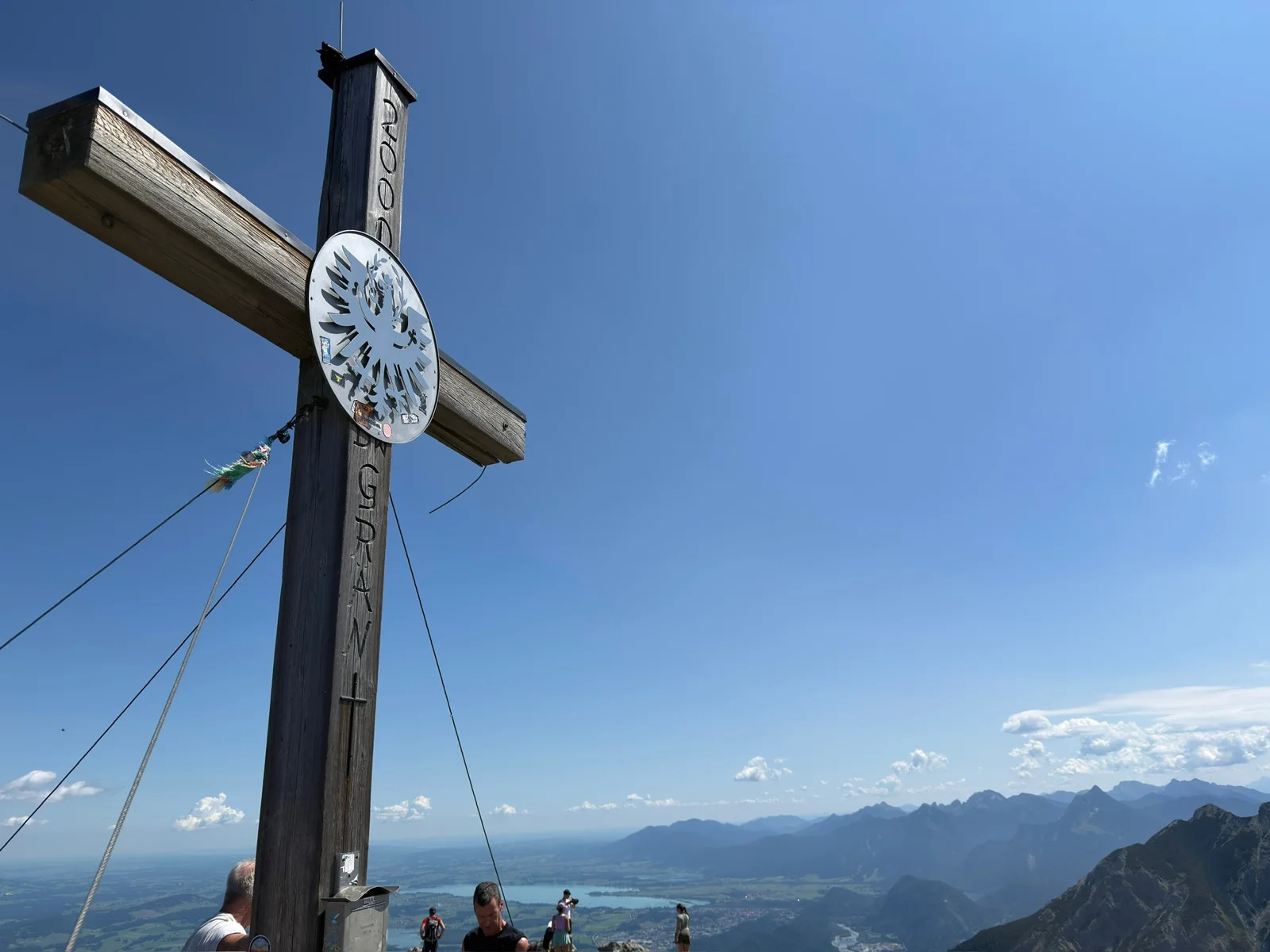
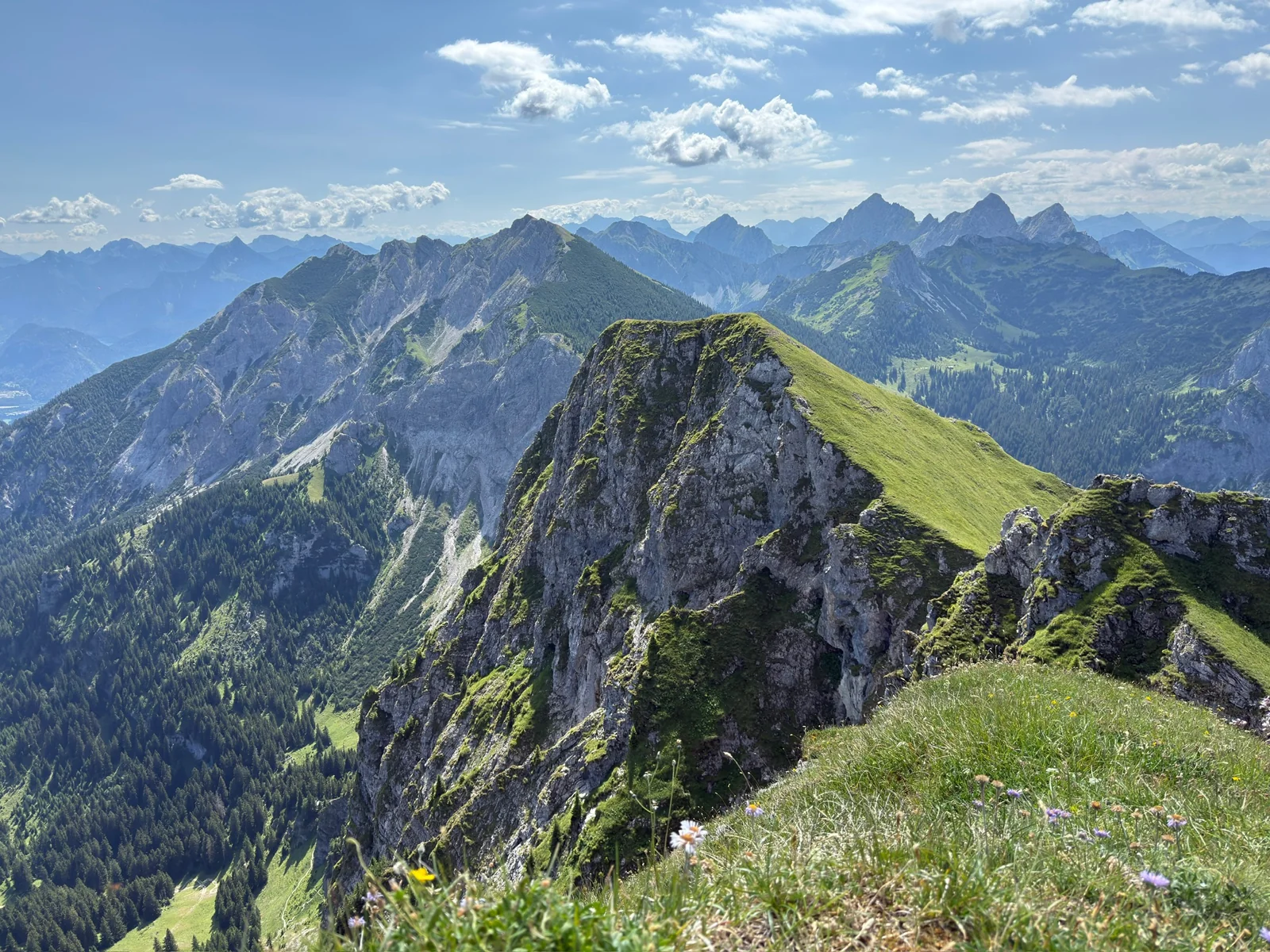
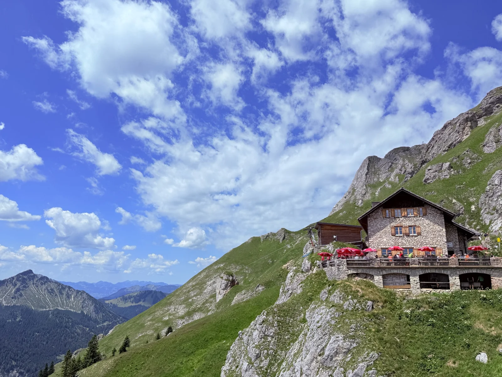
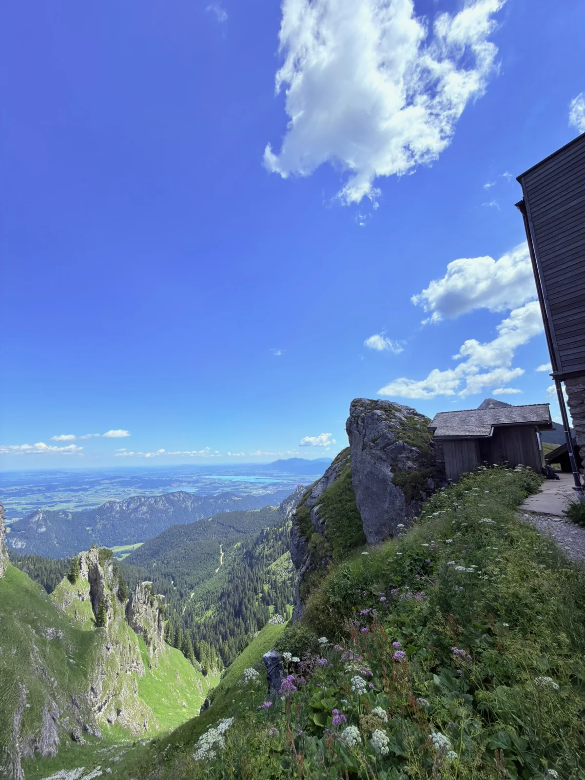
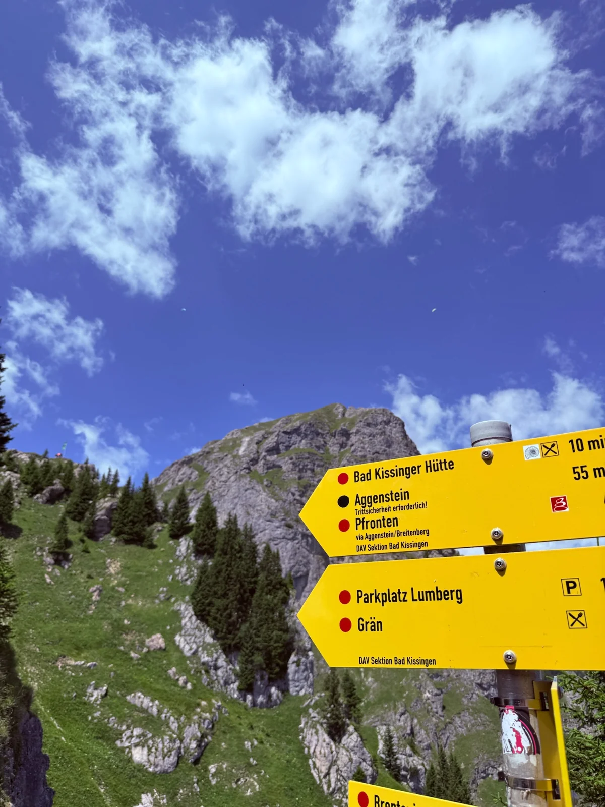
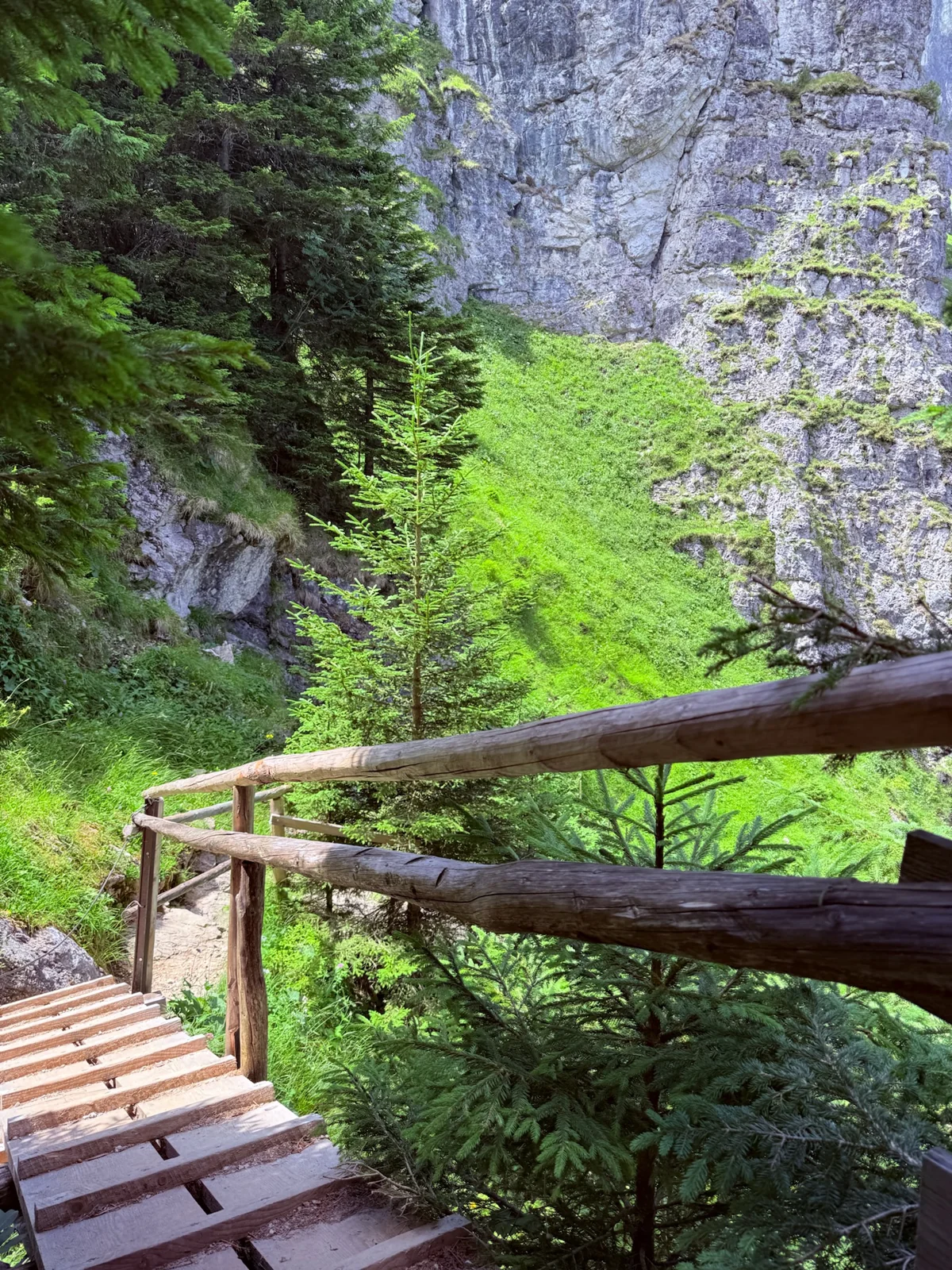
The Aggenstein towers prominently above the high Alps at Breitenberg. At the top there is a wide view over the Allgäu and the Tyrolean mountains. The Bad Kissinger Hut below the summit is a possible place for a break. Our pictures show the summit, the rocky paths and the hut from multiple perspectives.
For experienced mountain hikers, the official tour leads from the mountain station of the Breitenbergbahn over the Langer Strich to the Aggenstein. Then it goes back to the high alpine via the Bad Kissinger Hütte and the Bösen Tritt. The specified 6,1 kilometers start at the mountain station. Despite the train journey, this remains a demanding tour with steep sections that are partly secured by ropes.
As a long alternative, the valley tour starts at the Breitenbergbahn and initially leads through the Reichenbachklamm. For this, Pfronten gives 15,1 kilometers, around 6 hours, 50 minutes and around 1.172 altitude meters ascent. A photo shows the boardwalk in this gorge; the video shows the view from the mountain path. Choose the route that suits your mountain experience; For a simpler day, the panoramic tour to the Ostlerhütte is suitable.
Good to know: Surefootedness, a head for heights and alpine experience are required. Only go when the weather and trail conditions are right; Snow and wet conditions increase the demands.
ALONG THE RIVER FOR SEVERAL DAYS
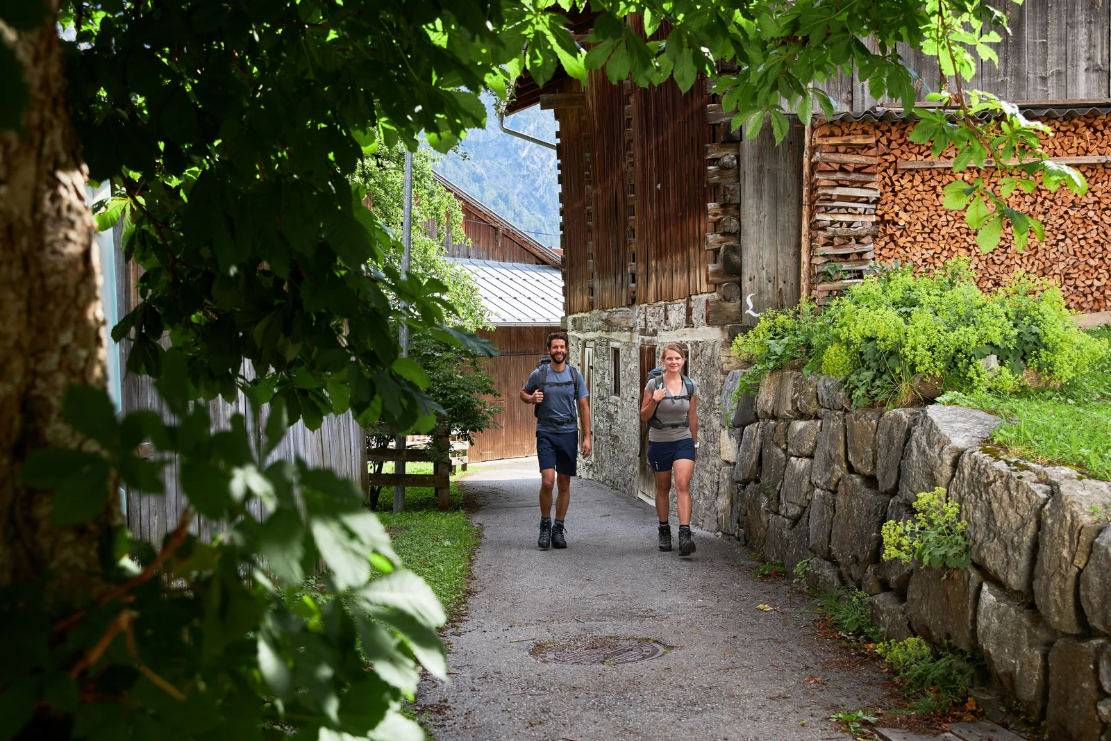
From the Formarinsee to the Lechfall, the Lechweg follows one of the striking Alpine rivers. High mountain landscape, villages in the Lechtal and the lakes in front of Füssen make the stages varied. You can hike the entire trail or select individual sections.
As a Lechweg partner, our hostel is located in the middle of Füssen - a nice place for the last night after your hike or the start in the opposite direction. On our own Lechweg page you will find the differences between seven, eight and ten days, stopovers and a concrete stage plan.
Good to know: The entire route begins at a high altitude. Check season, snow and current trail clearances before traveling.
THE ALLGÄU IN THE COLD SEASON
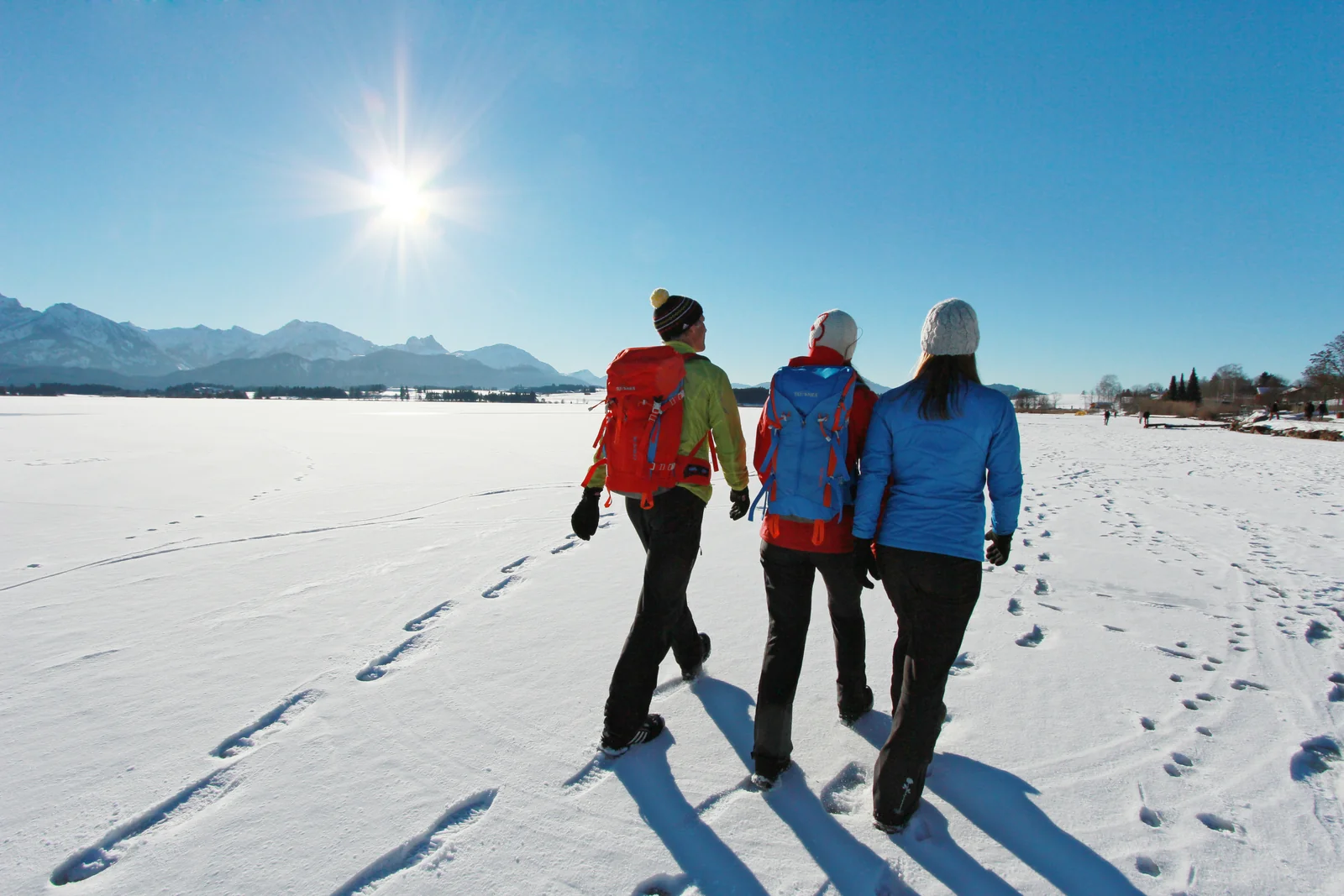
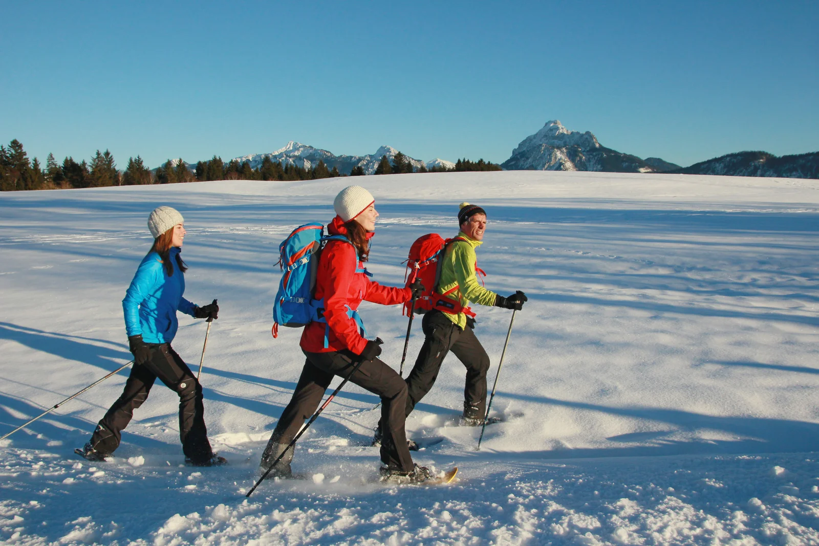
In winter the landscape around Füssen changes. A walk along the lakes, a path through the snow-covered forest or a guided snowshoe tour show a different side of the region. The winter hiking map helps you choose a suitable route for each day.
Summer trails are not automatically winter hiking trails. Check which routes are currently cleared or released and adapt the planning to daylight and surface conditions. Snowshoe tours with designated offers with experienced guides are a good way to get to know the snowy landscape.
Good to know: Routes and times depend on the winter route you choose. The official winter hiking map contains concrete suggestions.
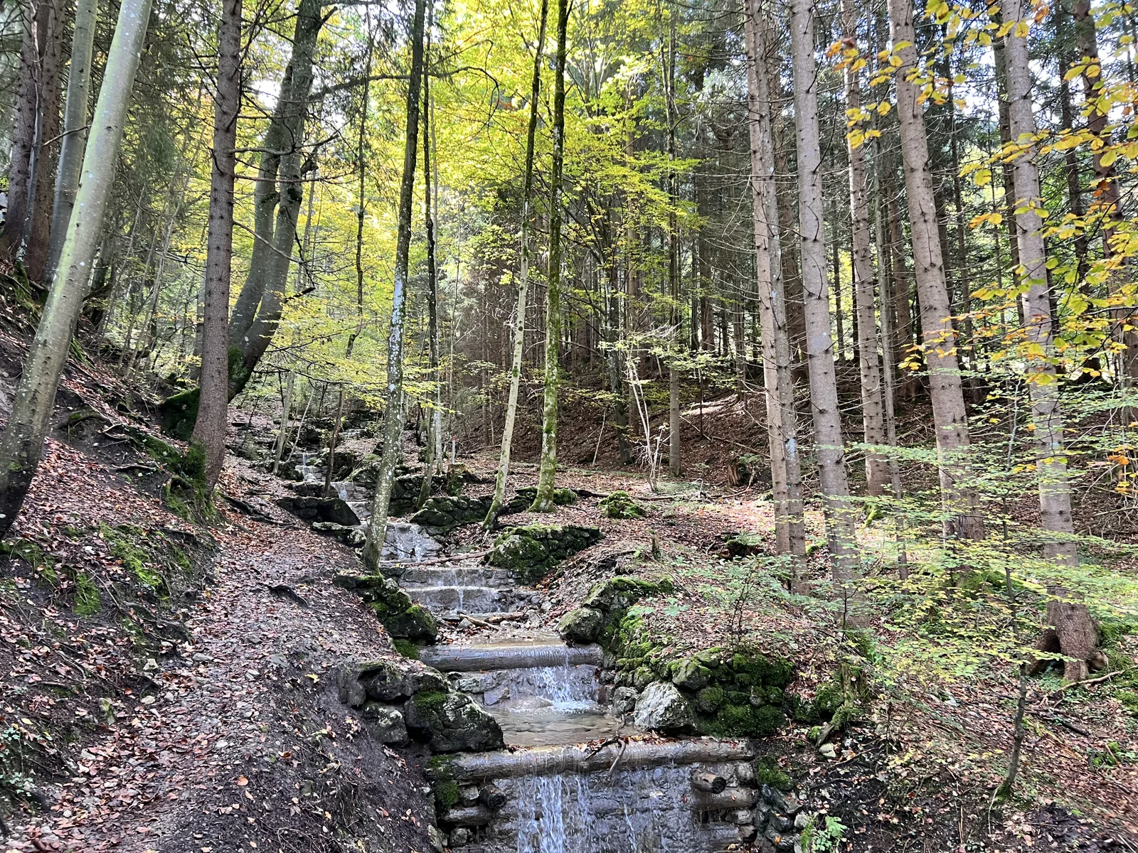
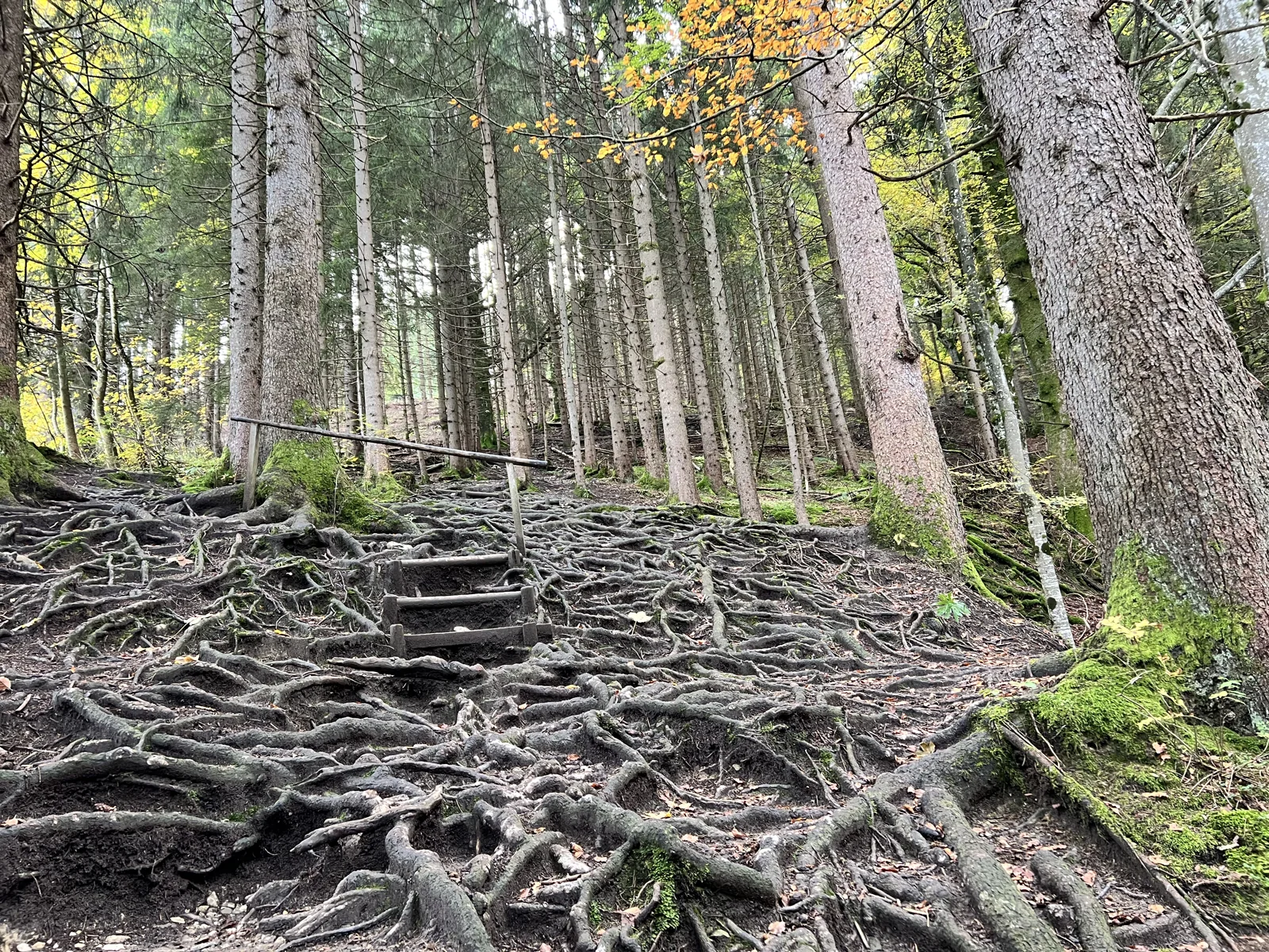
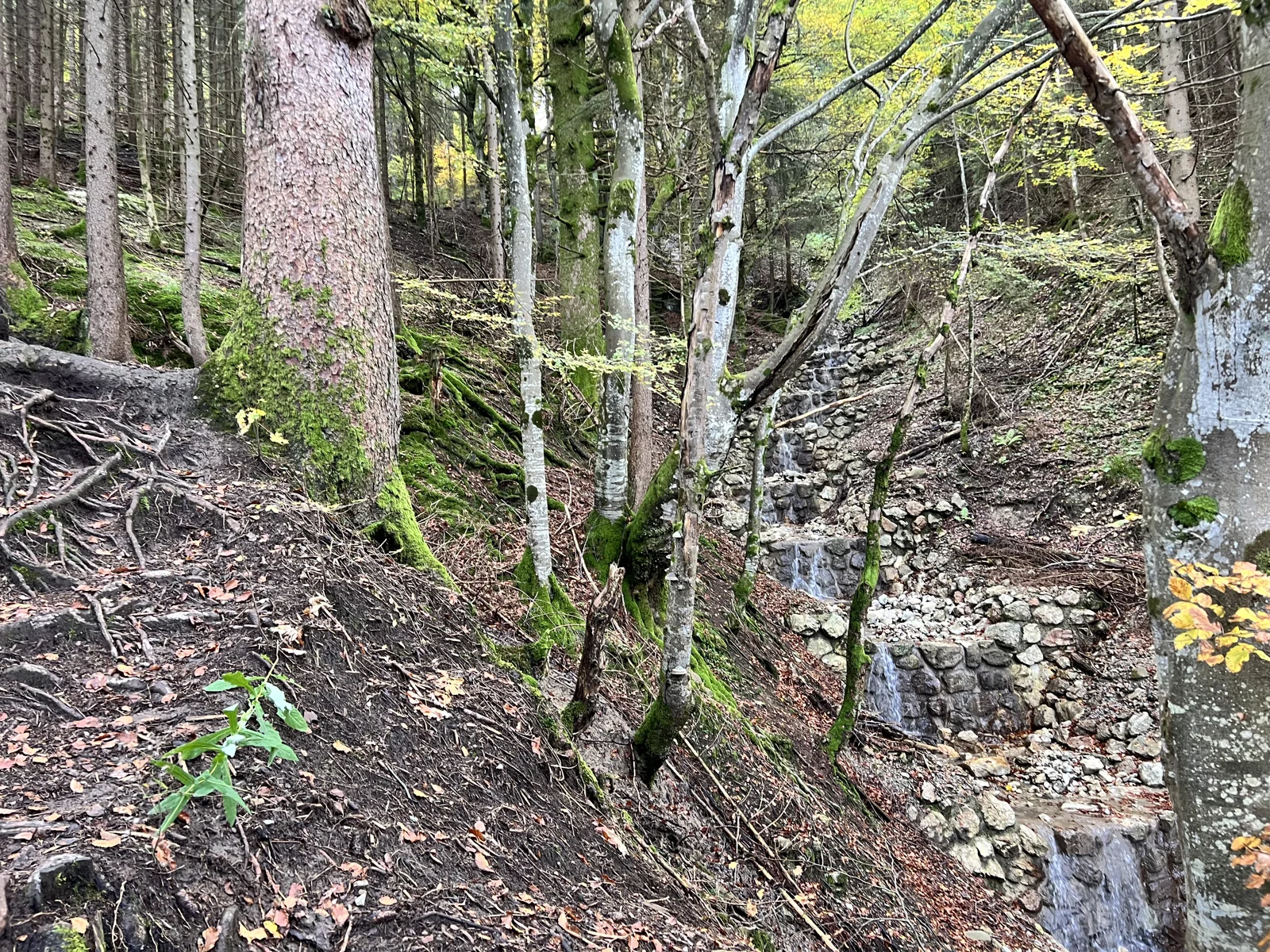
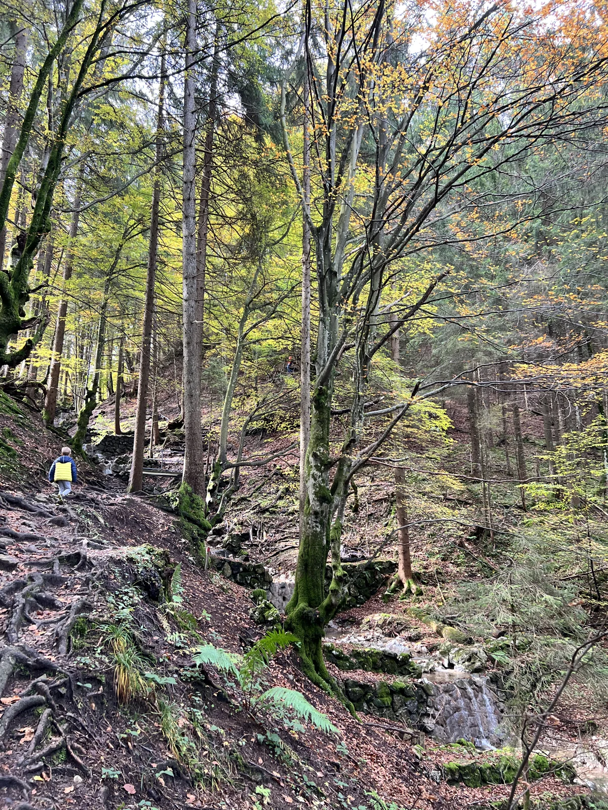
MOUNTAIN FOREST, CREEKS AND CABIN BREAK
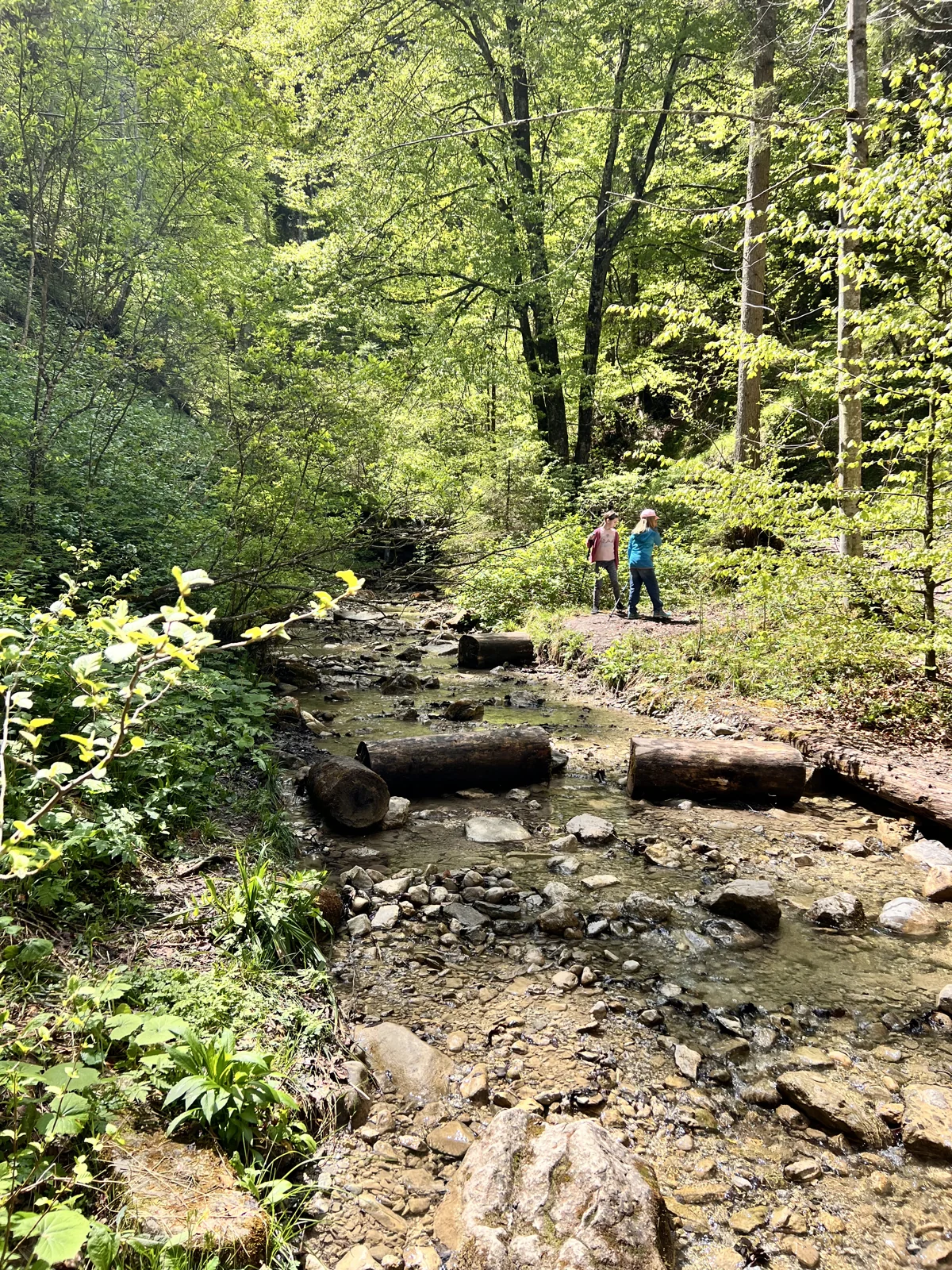
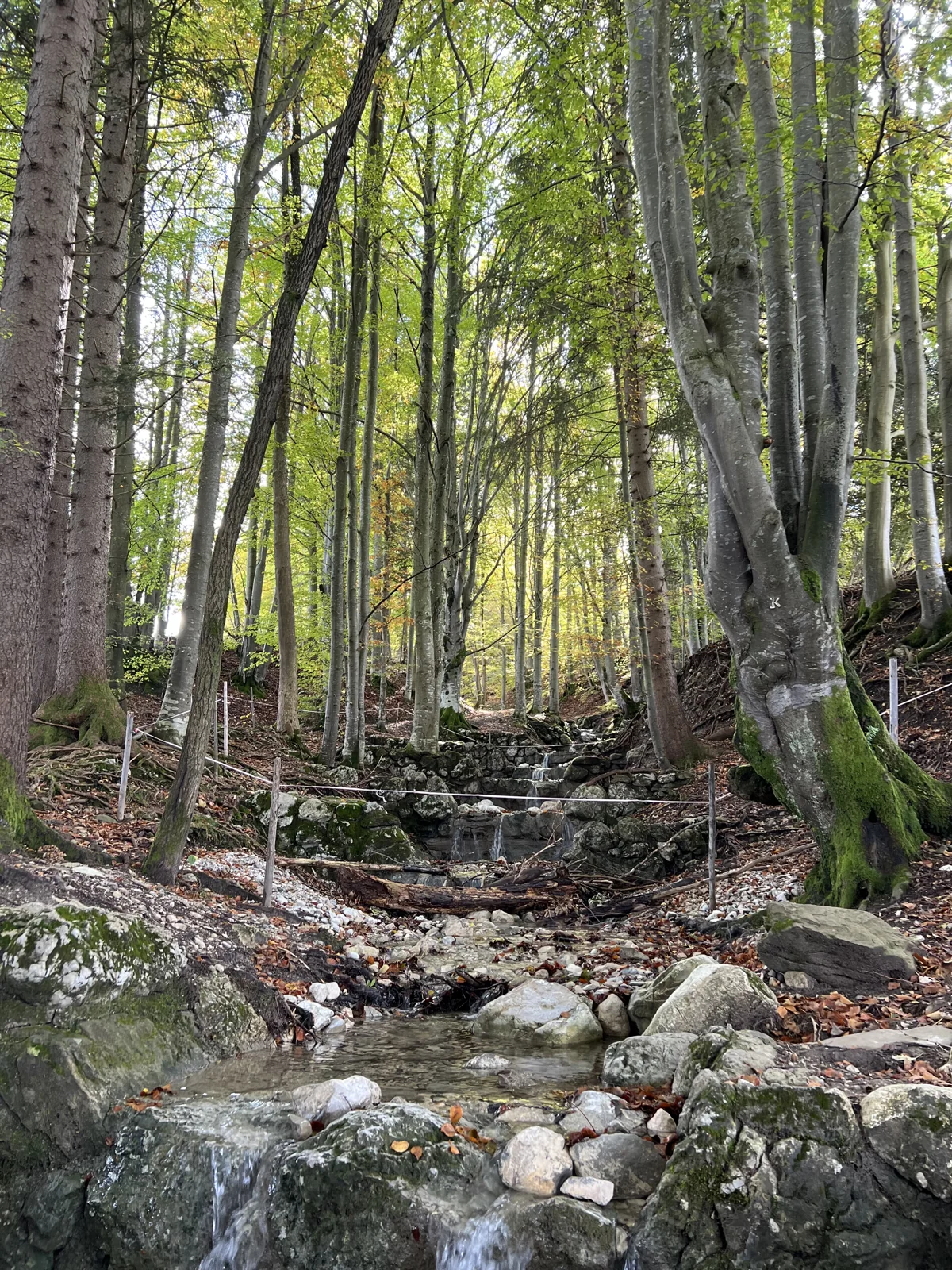
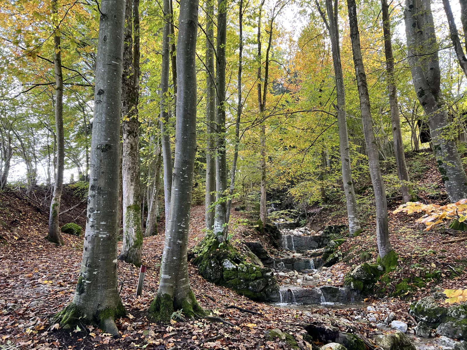
Below the Buchenberg, forest paths lead through the slope up to the Buchenbergalm. Our pictures show the natural sections with roots, streams and narrow paths. If you want to get to know the mountain on foot, you will experience a different approach than when taking the chairlift.
For guidance, use the ascent in the official Füssen scenic hiking map: 3,4 kilometres and 334 metres of elevation gain from the valley station. Allow about one and a half to just over two hours. The individual ascent paths vary; follow the current signs and the operator’s map. At the top, you can stop for refreshments and add the Gamssteig to your excursion when access is open. Depending on operating hours, return by cable car or make an additional descent on foot.
Good to know: Roots and stones can be slippery when wet. The foot descent is in addition to the stated ascent values. Check the operator's current closures.
ALPINE DESCENT WITH A CASTLE VIEW
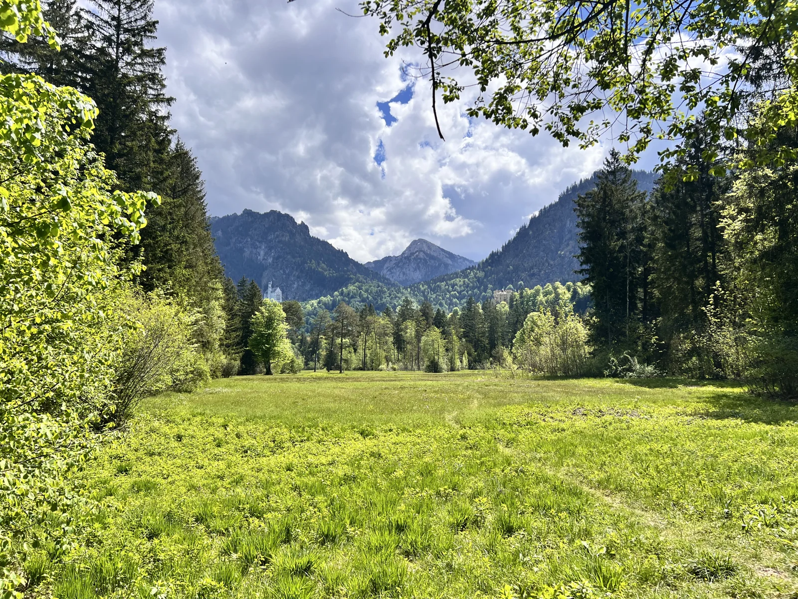
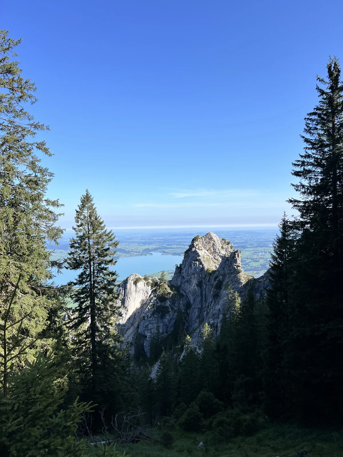
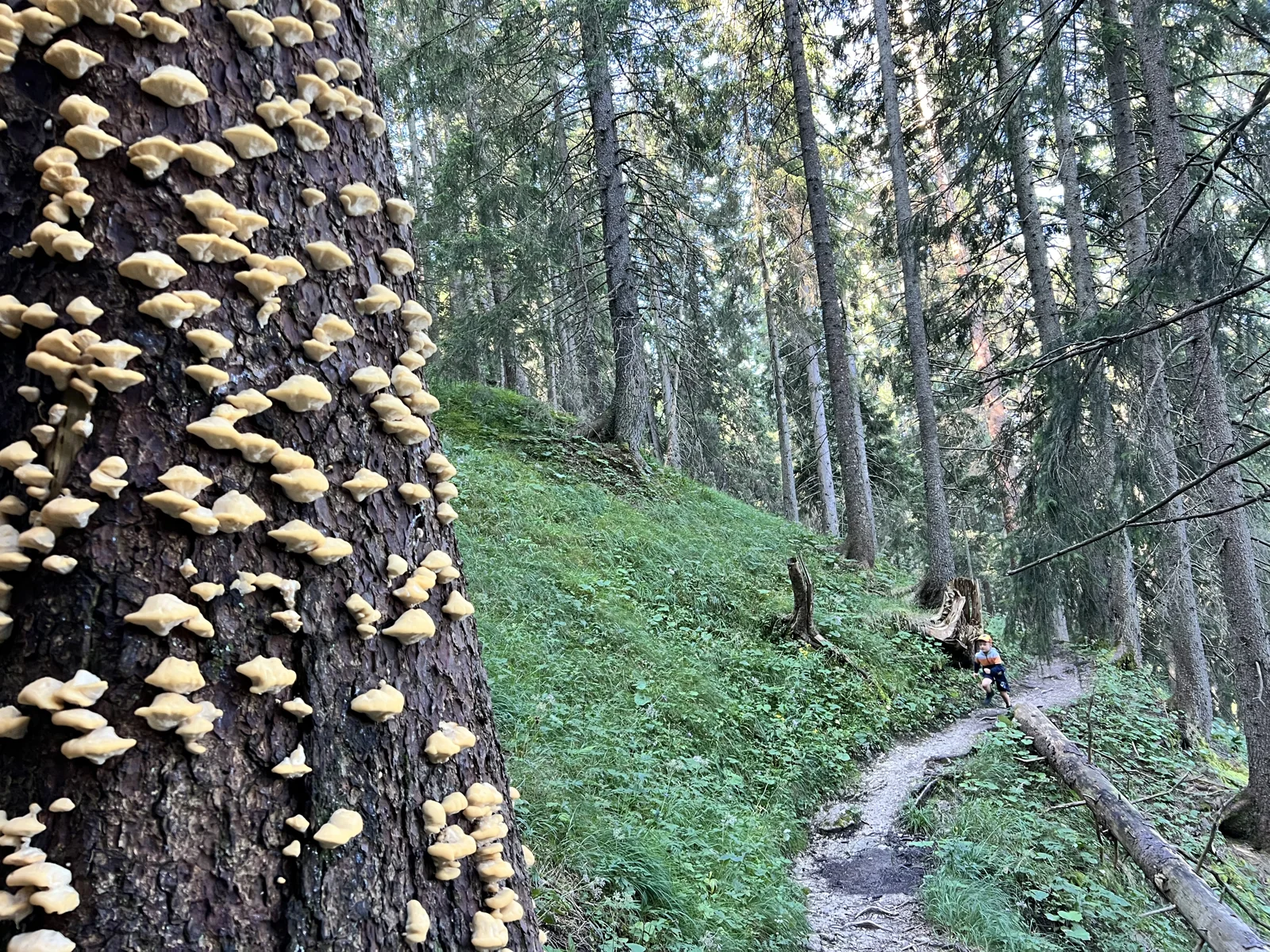
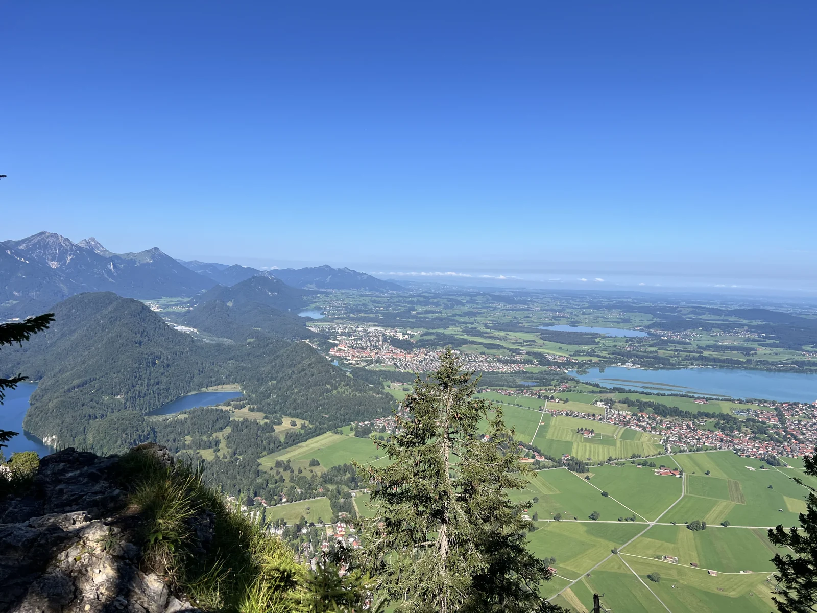
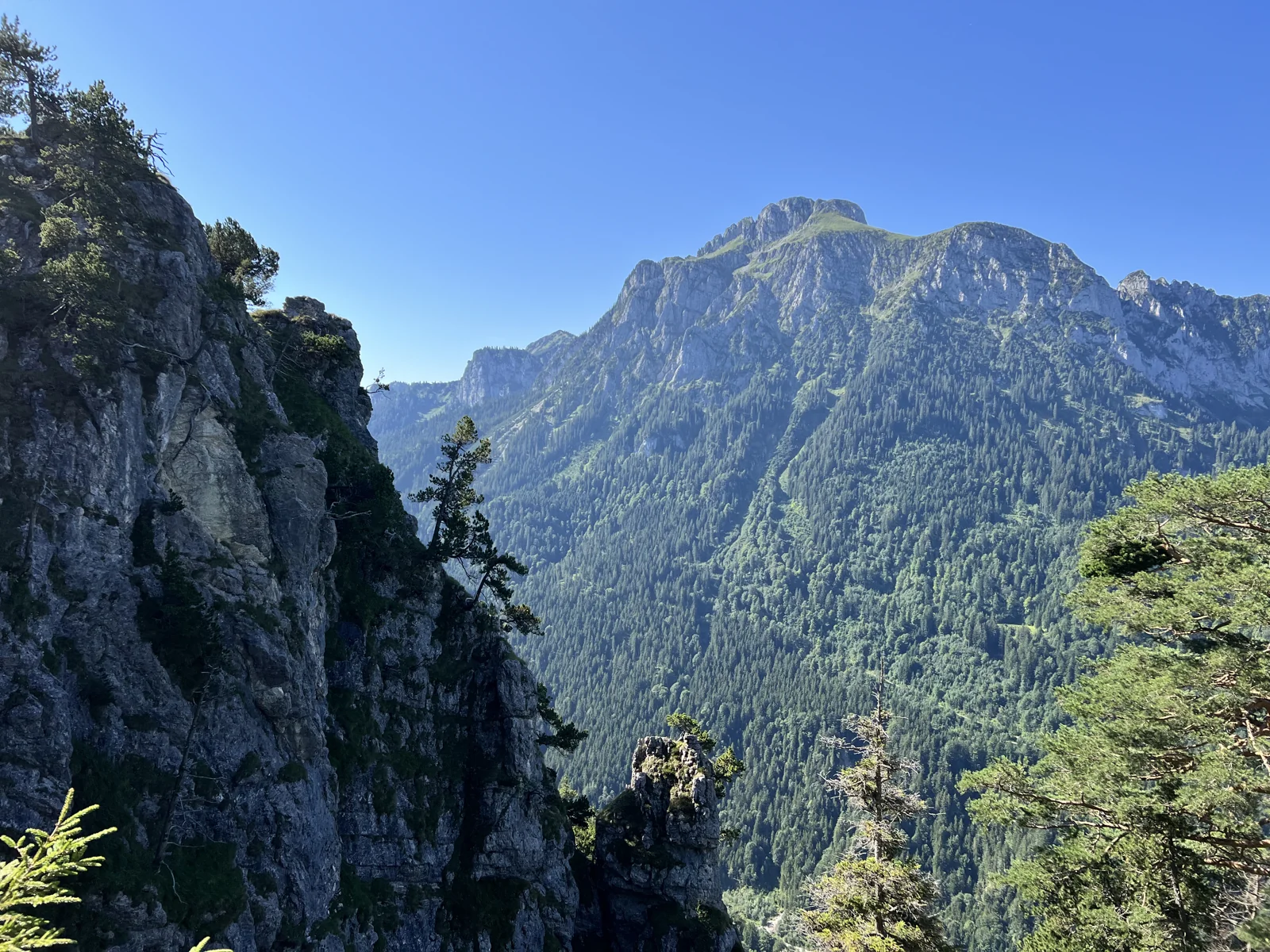
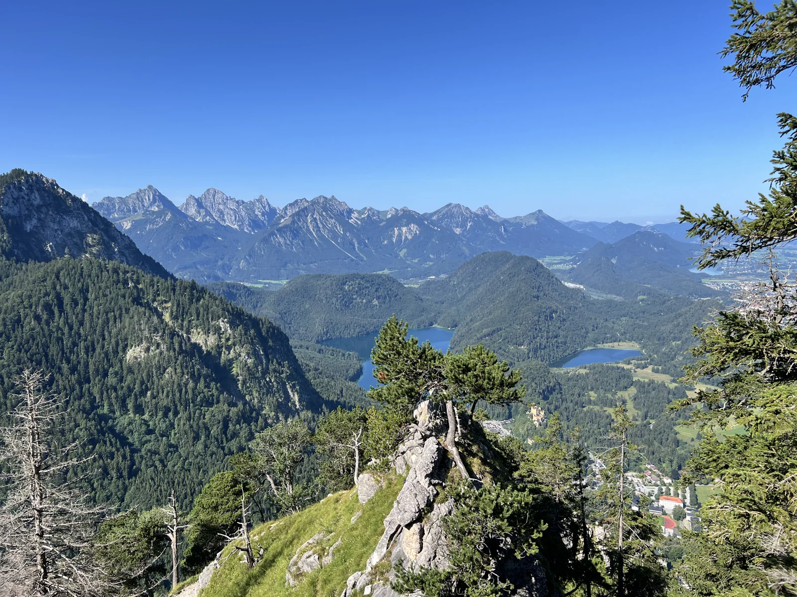
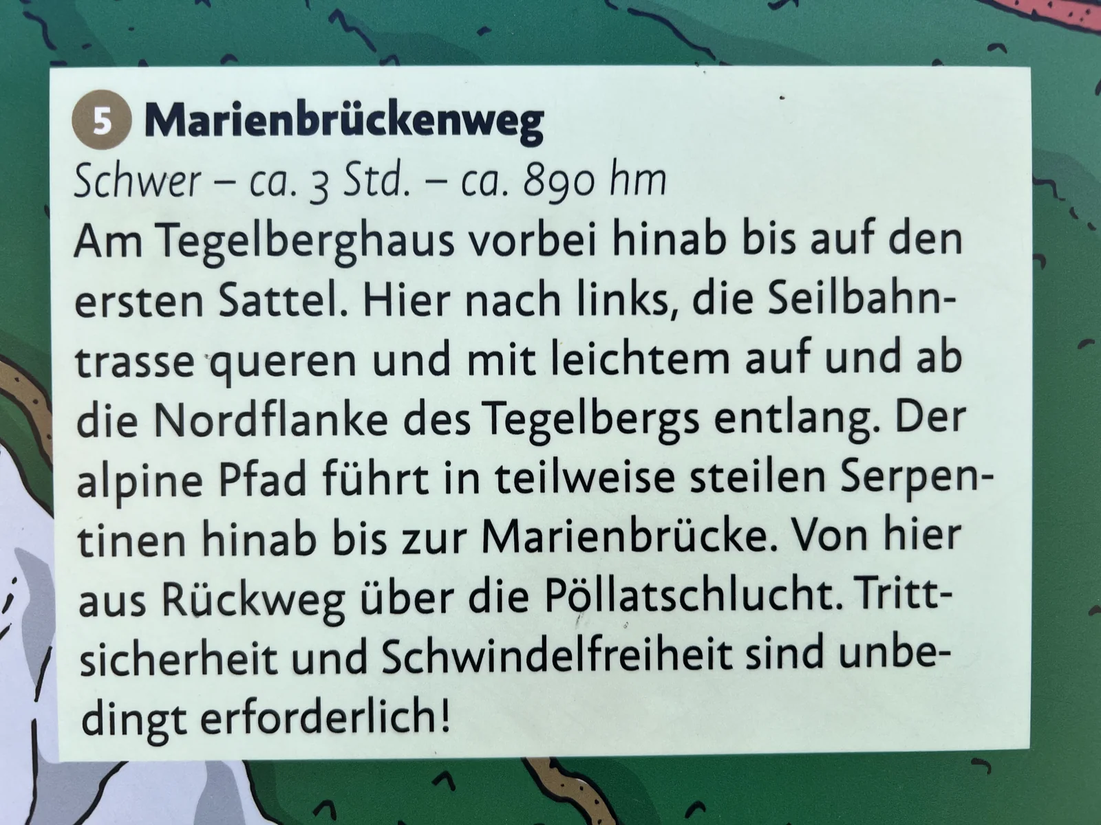
The Marienbrückenweg connects the Tegelberg area with the famous view of Neuschwanstein (Schloss Neuschwanstein). On the way there are rocky slopes, mountain forests and clear views of the lake district. Our pictures show sections of the path, viewpoints and the signage on the mountain. The path is narrow and steep in places; it demands much more than a walk to the castles.
The local hiking board says the descent from the Tegelberghaus takes about three hours and around 890 meters of altitude down to the Marienbrücke. Paths further to Hohenschwangau and to the valley station are added. The linked official tour, on the other hand, describes the ascent from the valley station via Hohenschwangau and the Marienbrücke: 9,5 kilometers, about four hours and 1.008 meters ascent, followed by a descent. Decide in advance which direction and variant you want to go.
Good to know: Surefootedness and a head for heights are required. Check access to Marienbrücke and path clearances. The closed Pöllatschluchtweg is not an option to return.
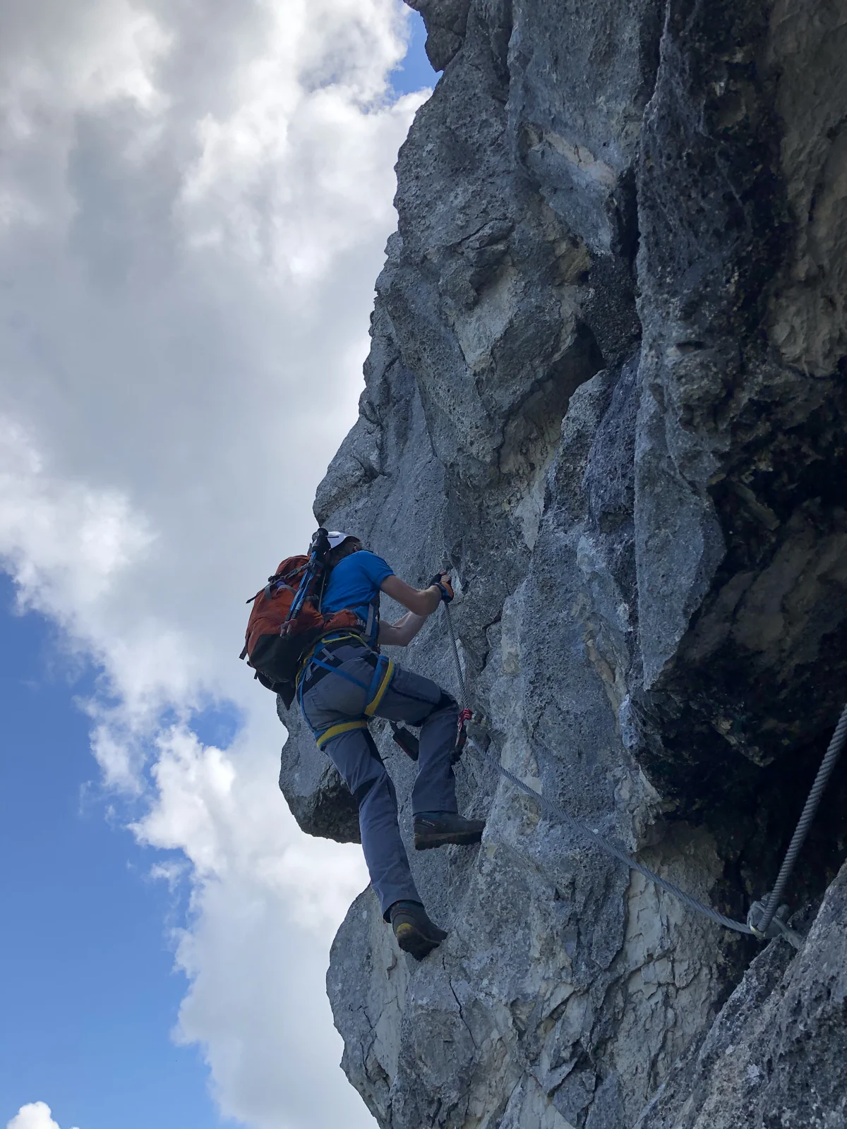
ROCK, WIRE ROPES AND WIDE VIEWS
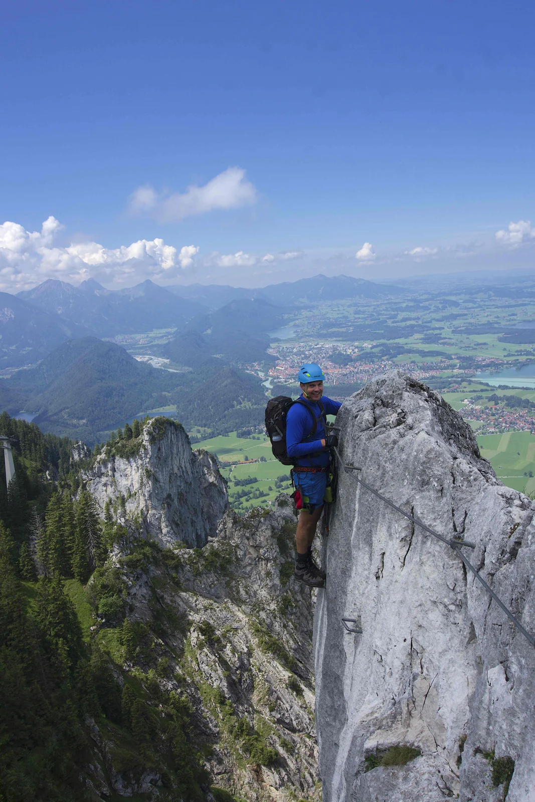
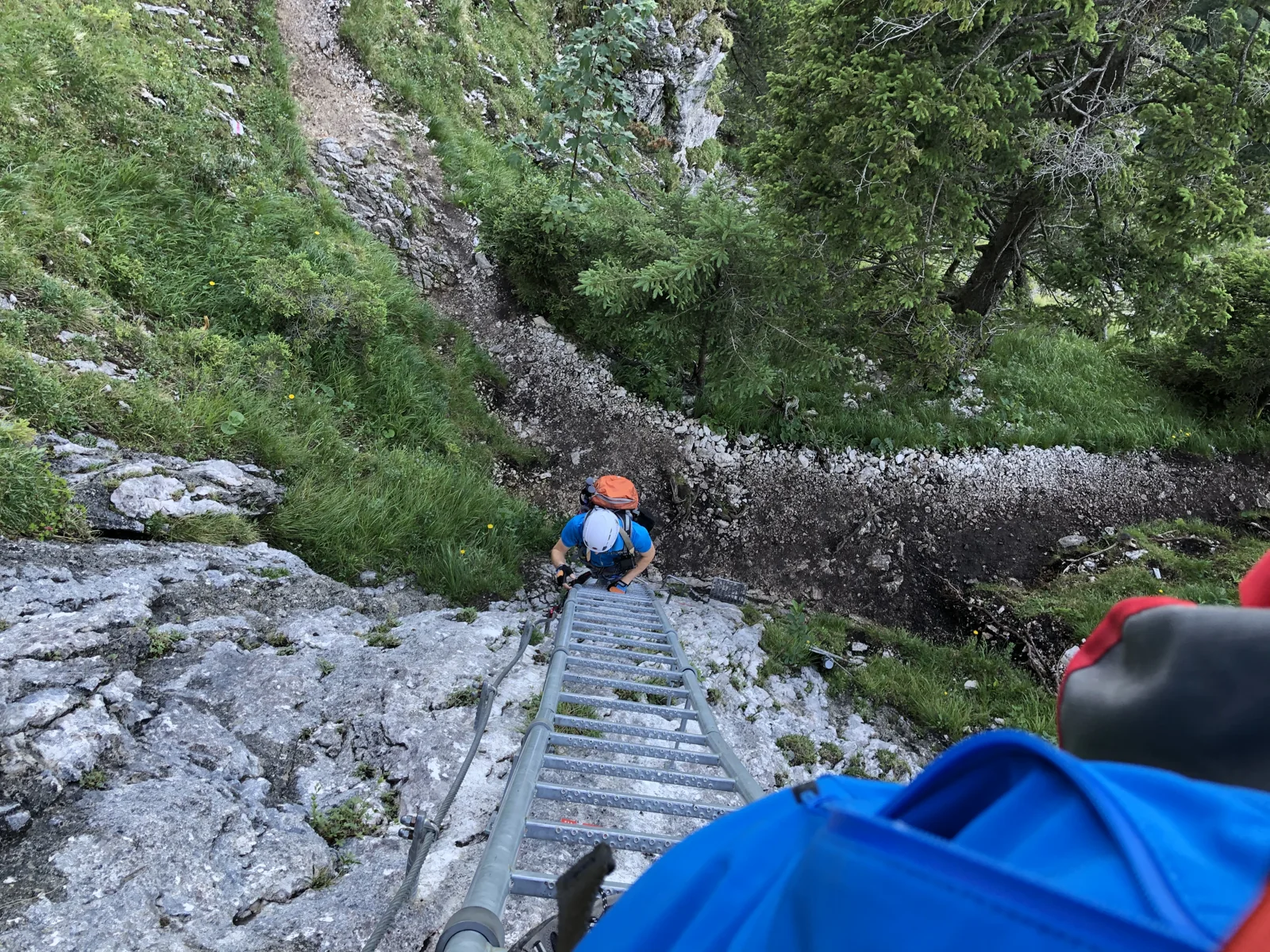
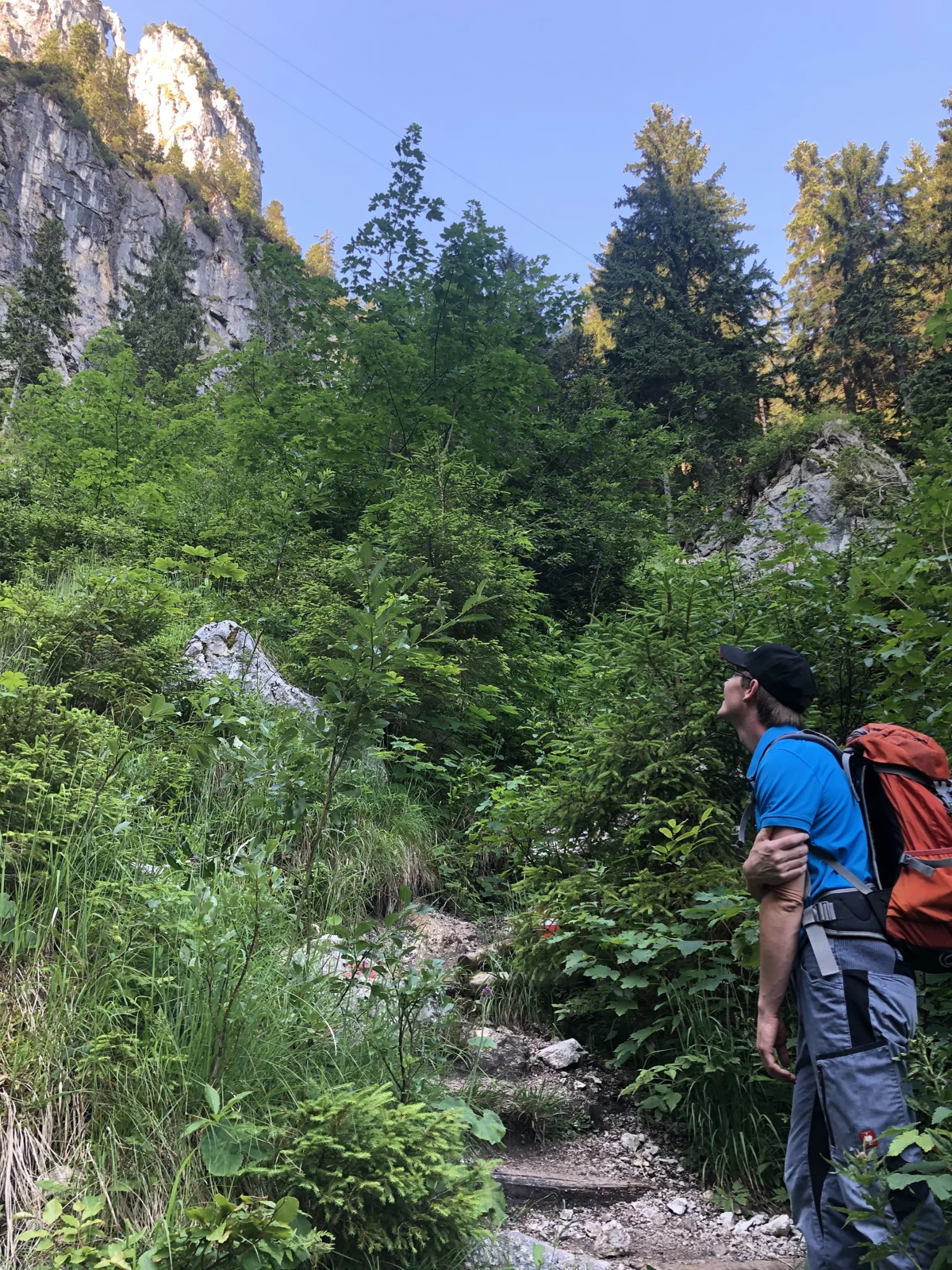
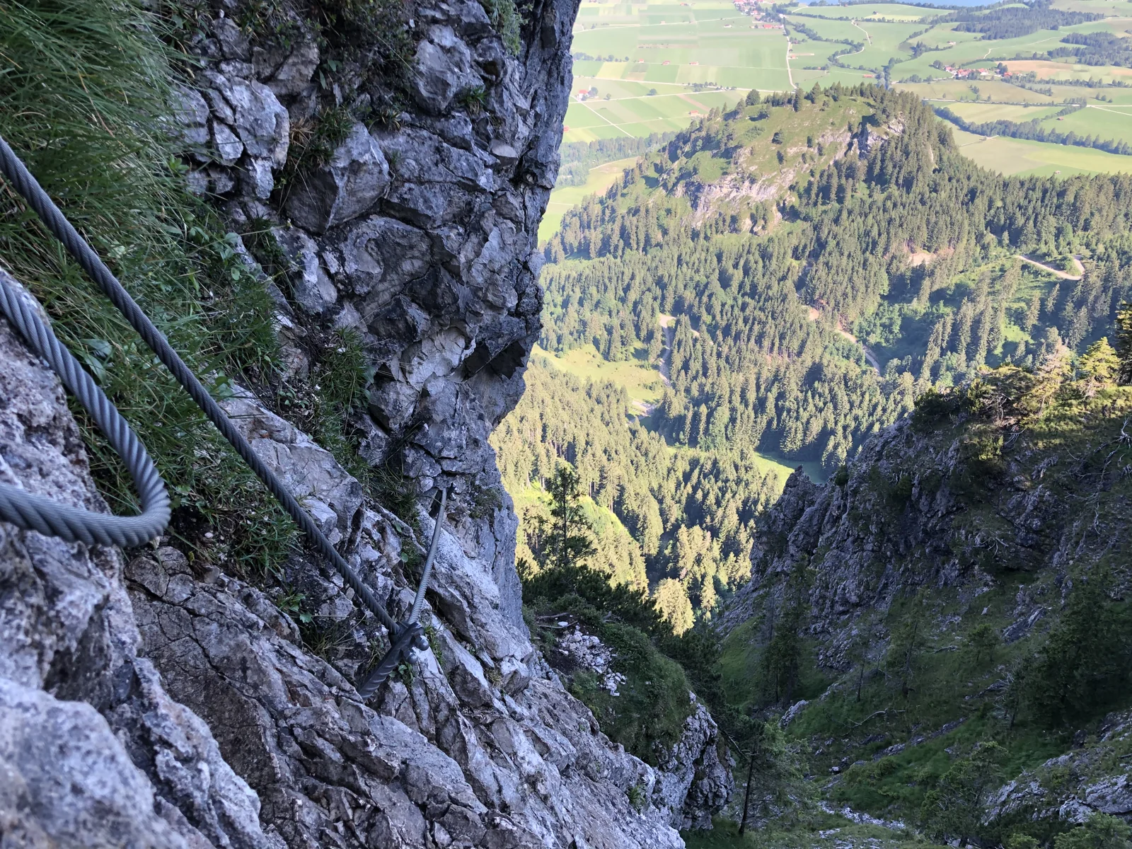
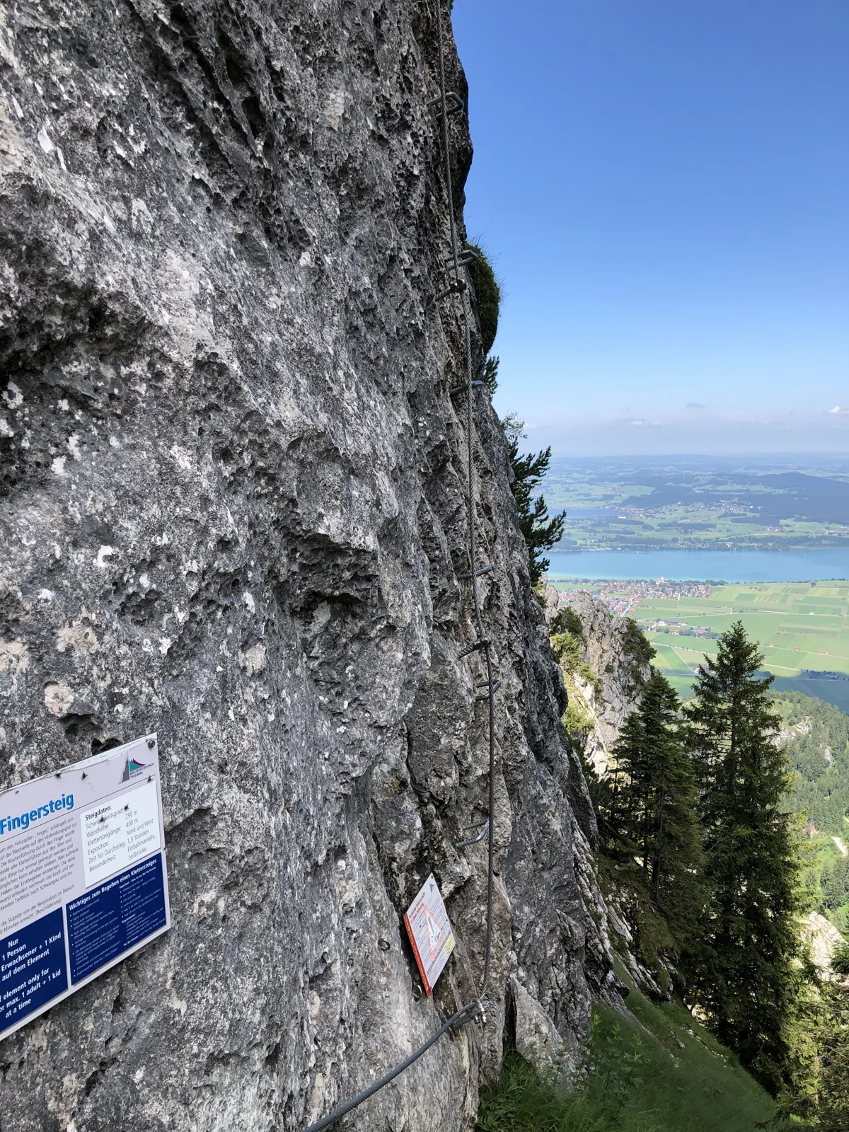
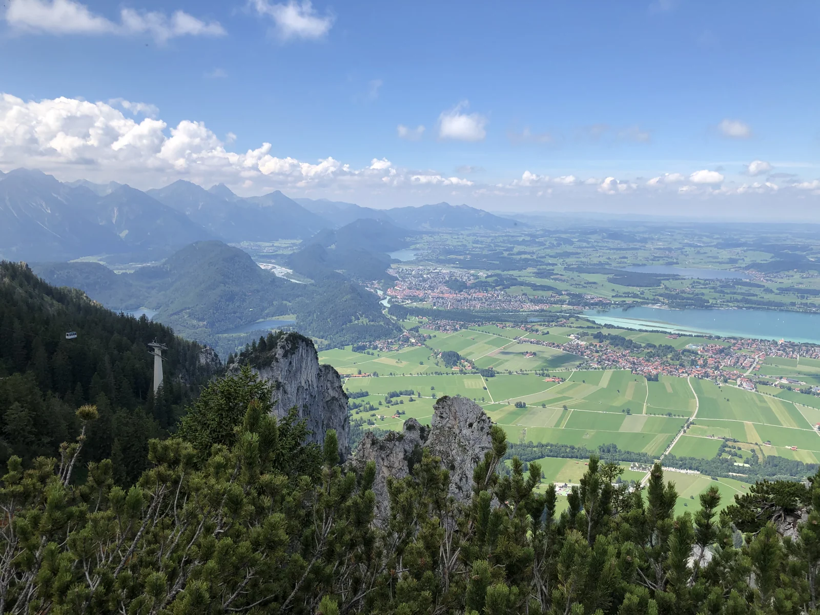
At Tegelberg there are several via ferratas with different levels of difficulty. The Yellow Wall is an educational trail with difficulty level A. The Tegelbergsteig is more demanding at C and leads through steep rock faces; the Fingersteig reaches D. The pictures show ladders, secured passages and the view from the climbing area.
For the Tegelbergsteig, the railway says around 1.000 meters of via ferrata length and around two and a half hours of pure climbing time. The approach, onward route and descent must also be planned. If you want to get started, you can first use the training facility at the mountain sports center and familiarize yourself with the technology and safety on a guided tour.
Good to know: Via ferrata equipment, experience and suitable conditions are required. The claim depends on the route chosen; Book an expert guide to get started.
MAPS & INFORMATION TO TAKE WITH YOU
Official brochures from Füssen Tourism and Marketing and its partners. Open the PDF or save it for travel. The original editions remain unchanged; note their respective status.
PDF · 2 pages · 20,2 MB
PDF · 2 pages · 19,3 MB
PDF · 2 pages · 6,7 MB
PDF · 2 pages · 1,3 MB